/reports/forecaster-notes/sydney-hunter-illawarra/2016/06/06/plenty-ene-throughout-week-offshores
Guy Dixon
Monday, 6 June 2016
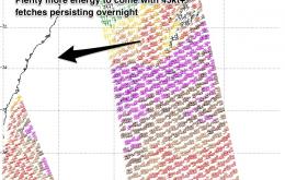
Multiple pulses of E/NE swell maintaining good size this week, only a slow easing trend. Offshore breezes likely to persist.
/reports/forecaster-notes/sydney-hunter-illawarra/2016/06/03/very-large-ne-weekend-swells-excellent
thermalben
Friday, 3 June 2016
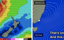
I encourage you to cycle through the South Pacific WAMS, and take note of the size and strength of the New Zealand high pressure system, because it’s the primary driving force behind this upcoming swell event.
/reports/forecaster-notes/sydney-hunter-illawarra/2016/06/01/large-and-prolonged-ne-swell-event
Guy Dixon
Wednesday, 1 June 2016
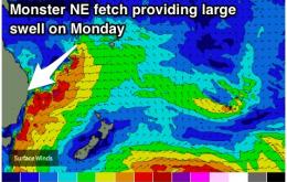
Large NE swell building on the weekend, peaking and cleaning up early next week.
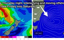
/reports/forecaster-notes/sydney-hunter-illawarra/2016/05/30/large-stormy-ne-swell-due-peak-sunday
Guy Dixon
Monday, 30 May 2016
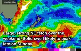
Small pulses of S'ly swell during the week, with a strong increase in NE swell late on the weekend.
/reports/forecaster-notes/sydney-hunter-illawarra/2016/05/27/early-peak-sly-swell-saturday-smaller
thermalben
Friday, 27 May 2016
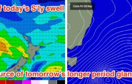
The fetch responsible for today’s building S’ly swell is quite incredible.
/reports/forecaster-notes/sydney-hunter-illawarra/2016/05/25/clean-conditions-and-easing-sly-swell
Guy Dixon
Wednesday, 25 May 2016
The run of persistent offshore breezes will continue throughout the week and weekend, with an easing southerly swell.
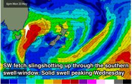
/reports/forecaster-notes/sydney-hunter-illawarra/2016/05/23/strong-sly-swell-due-peak-wednesday
Guy Dixon
Monday, 23 May 2016
The S'ly swell window looks to provide good energy, with a generally offshore wind pattern as fronts move to the south.
/reports/forecaster-notes/sydney-hunter-illawarra/2016/05/20/solid-sly-swell-saturday-large-sly-swell
thermalben
Friday, 20 May 2016
There’s a couple of components to the southerly swell unfolding across the East Coast.
/reports/forecaster-notes/sydney-hunter-illawarra/2016/05/18/good-size-weekend-south-facing-beaches
Guy Dixon
Wednesday, 18 May 2016
Finally breaking the zonal pattern with better S'ly pulses due Friday into Saturday and Tuesday into Wednesday.
/reports/forecaster-notes/sydney-hunter-illawarra/2016/05/16/small-pulses-sly-swell-friday-and
Guy Dixon
Monday, 16 May 2016
We are in for a decent S'ly swell late week, with winds remaining light and favourable each morning.

