/reports/forecaster-notes/south-east-queensland-northern-new-south-wales/2017/06/19/large-windy-waves
thermalben
Monday, 19 June 2017
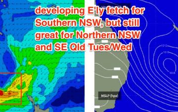
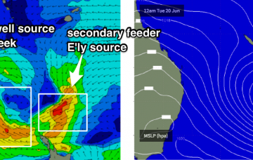
This suggests the Gold/Tweed Coast buoys are outliers and we’ve got plenty more swell ahead for the entire region.
/reports/forecaster-notes/south-east-queensland-northern-new-south-wales/2017/06/16/small-leftovers
thermalben
Friday, 16 June 2017
Model guidance has this Tasman Low remaining slow moving all week so we’re looking at a five-day run of surf size in the 4-6ft range across Northern NSW, from Monday onwards.
/reports/forecaster-notes/south-east-queensland-northern-new-south-wales/2017/06/14/easing-swells
thermalben
Wednesday, 14 June 2017
Freshening S’ly tending S/SW winds are expected all weekend as a trough along the East Coast strengthens.
/reports/forecaster-notes/south-east-queensland-northern-new-south-wales/2017/06/12/large-windy-surf
thermalben
Monday, 12 June 2017
There’s no shortage of swell ahead.
/reports/forecaster-notes/south-east-queensland-northern-new-south-wales/2017/06/09/wet-windy-waves
thermalben
Friday, 9 June 2017
The weekend’s broad outlook remains the same as discussed through the week, but wave heights have been downgraded a little.
/reports/forecaster-notes/south-east-queensland-northern-new-south-wales/2017/06/07/active-weekend
thermalben
Wednesday, 7 June 2017
We’ve had yet another major model swing in the last few days.
/reports/forecaster-notes/south-east-queensland-northern-new-south-wales/2017/06/05/fun-weekend-ahead
thermalben
Monday, 5 June 2017
We've got a fairly standard winter frontal cycle coming up and the trend is for an extended period of southerly swell.
/reports/forecaster-notes/south-east-queensland-northern-new-south-wales/2017/06/02/saturday-still
thermalben
Friday, 2 June 2017
So, there’s one final pulse of south swell expected from this most recent Tasman Low, and it’ll deliver the biggest and strongest waves of the sequence.
/reports/forecaster-notes/south-east-queensland-northern-new-south-wales/2017/05/31/windy-period
thermalben
Wednesday, 31 May 2017
I’m now a little less keen on Saturday’s surf prospects, than I was when I issued Monday’s notes.
/reports/forecaster-notes/south-east-queensland-northern-new-south-wales/2017/05/29/windy-conditions
thermalben
Monday, 29 May 2017
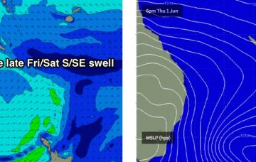
Friday’s late kick in large S/SE swell will peak overnight before easing steadily through Saturday, which is currently the highlight of the forecast period.

