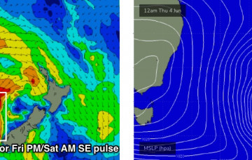
There’s another pulse of SE swell due to fill in from anytime about now onwards. More in the Forecaster Notes.
Primary tabs
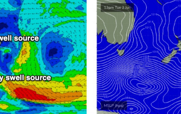
We’re at the cusp of the next phase of south swell, which will dominate the next few days. Sourced primarily from a strong front that pushed through the lower Tasman Sea today (originating form polar latitudes), we’ll then see secondary energy from a developing Tasman Low off New Zealand’s West Coast. More in the Forecaster Notes.
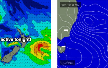
Tuesday's new S'ly swell will be the first in a series of south swells associated with an amplifying node of the Long Wave Trough over the eastern states, culminating in the development of a Tasman Low by Wednesday. More in the Forecaster Notes.
We’re looking at yet another strong, sizeable round of south swell next week, and there’ll be great surf persisting right through into next weekend too. More in the Forecaster Notes.
The Tasman Low is now much weaker, positioned off Far Northern NSW. Because it’s not generating any new energy for us, we will see a steady decline in wave heights over the coming days. But, the surf won’t go completely flat. More in the Forecaster Notes.
The Tasman Low is still active in our swell window though will begin to weaken from tomorrow. More in the Forecaster Notes.
The weekend forecast - although very dynamic - is also relatively straightforward. More in the Forecaster Notes.
Don’t get too worked up about the weekend’s large, windy surf, as the best waves from this synoptic sequence will certainly happen after the main event. More in the Forecaster Notes.
The short term forecast period is all about lully, inconsistent, long range E/NE swells. But there's a series of large S'ly swells on the cards too. More in the Forecaster Notes.
So, here’s the new swell, punching slightly higher than forecast though well within trend expectations. More in the Forecaster Notes.

