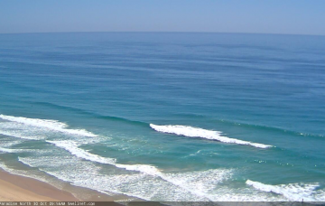
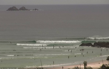
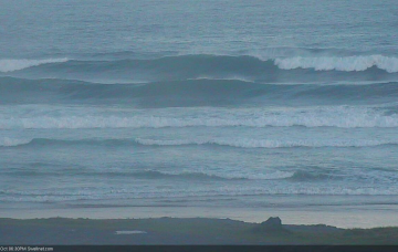
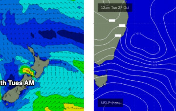
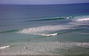
Saturday looks hectic. Small residual swells from the SE and E will maintain minor surf at open beaches but the dominant feature will be strengthening northerly winds as a low pressure trough moves in from the west. More in the Forecaster Notes.
Primary tabs
With no new swell sources on the radar, we’re looking at residual energy for the short term period. More in the Forecaster Notes.
We’re (still) looking at very strong surf persisting through Tuesday (Northern NSW), before easing from Wednesday onwards. More in the Forecaster Notes.
We’ve got an extended run of strong SE swell for Northern NSW, and SE Qld should also pick up some fun waves next week. More in the Forecaster Notes.
Looks like a couple of days of very average conditions ahead. But next week looks really good... potentially. More in the Forecaster Notes.
It’s not a great week of waves coming up. And, it looks like another weekend of gusty northerlies, persisting into early next week. Otherwise, the second half of next week looks much better. More in the Forecaster Notes.
There’s one main window of opportunity across the broader coast this weekend. More in the Forecaster Notes.
The ridge supplying our current surf will gradually weak from Thursday onwards. Because of its close proximity to the mainland, we’ll see a concurrent easing trend across the coast. More in the Forecaster Notes.
A ridge will build across the SE Qld coast on Tuesday, freshening SE winds and building local swells about the region. More in the Forecaster Notes.
There’s a few sources lining up for the rest of next week. More in the Forecaster Notes.

