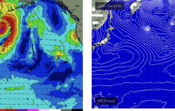
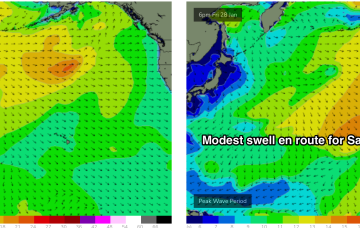
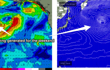
Into the end of next week and models are now showing broad agreement on a complex area of low pressure centred East of Kamchatka Peninsula.
Primary tabs
The system broadens and deepens through Tues with extreme winds in excess of storm force, but gets shunted NE before the dateline. This track limits surf potential.
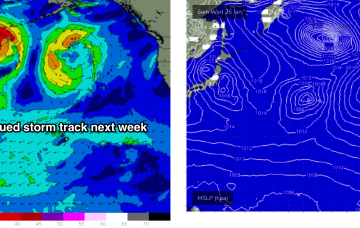
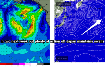
The pattern change we spoke about on Fri then kicks right in, with blocking high pressure in the North Pacific shunting storms northwards towards the Aleutian Islands.
A major pattern change occurs next week with the intense storm track of the last month which has seen two huge cyclone gyres forming, and relentless storms charging at Hawaii, breaking down.
Current ASCAT (satellite windspeed) passes show a large area of storm force W’ly winds well aimed towards Hawaii as the storm tracks towards the Dateline.
A storm coming off the southern flank of the Gyre early this week intensifies to storm force as it approaches the dateline generating a large area of 30ft seas into the middle of the week.
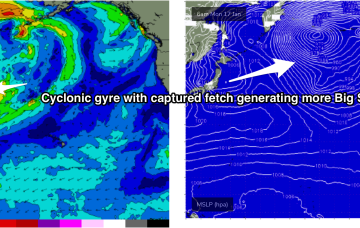
Another huge swathe of severe gales pushing of Japan Tues/Wed tracks towards Hawaii with a captured fetch , generating another large/XL swell Fri with size pushing up into the 15ft range, with light SE winds expected as the edge of the windfield sweeps past the island and a weak high pressure ridge builds in behind it.
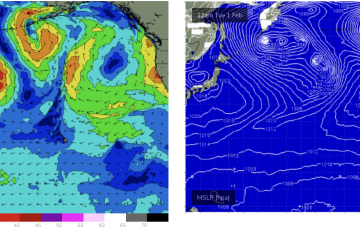
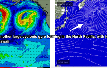
Into next week and another large cyclonic gyre forms over the North Pacific on the weekend/early next week. Gales to severe gales slingshot along the edge of the gyre, with a captured fetch reaching closer than 1000nm of Hawaii by Mon.
Another large W/NW swell follows close behind with an intense storm pushing storm force winds within 1500nm of Hawaii along the edge of a huge cyclonic gyre which ASCAT passes shows as inflamed by a massive area of gales to severe gales.
There’s not much let-up in the action next week. Storms have been spaced around 24-36hrs apart with each new fetch working on an already active sea state. This is producing overlapping swell trains, with consistent big surf expected across exposed North and West facing shores next week.

