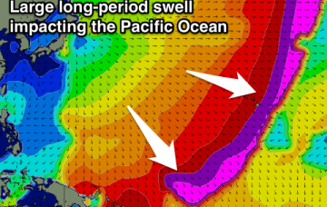
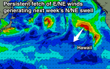
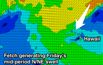
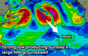
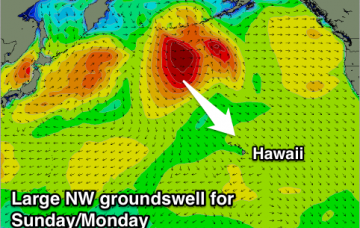
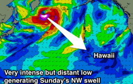
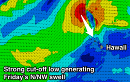
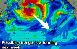
Small N/NE groundswell tomorrow afternoon and Wednesday across the North Shore, with a better NW groundswell Thursday and XL swell later Friday/Saturday. Lots of swell for Micronesia and PNG, likely large mid-late next week.
Primary tabs
Easing N/NW swell tomorrow with some small N/NE swell from Friday through the weekend. Stronger N/NE groundswell for mid next week, then a better run of W/NW-NW groundswell from late next week.
Mix of N/NE and NW swells across the North Shore until next weekend, with a large groundswell on the cards for P-Pass and PNG (including Hawaii).
No end in site to the average run of swell across all regions this coming fortnight.
Building NW swell tomorrow afternoon, easing Wednesday. Funky N/NE swells from Friday with average winds. Nothing long term.
Easing NW swell over the coming days ahead of a large, powerful and long period NW groundswell Sunday, peaking into the afternoon and easing next week.
New N/NW swell building tomorrow afternoon, peaking Wednesday and easing Thursday. Larger NW groundswell for Sunday afternoon, easing early next week with not much thereafter.
Easing N/NE swell tomorrow with a building N/NW swell Friday but with fresh onshore winds, easing Saturday as poor winds continue. Good inconsistent swell Sunday afternoon with OK winds, better Monday.
Easing inconsistent NW swell tomorrow but with N/NE winds, with a new N/NE swell for Wednesday and Thursday as funky W'ly winds develop on the later. Large raw mix of NW and N/NW swells developing Friday with W'ly winds, easing Saturday as winds hopefully ease. Moderate to large levels of E/NE trade-swell for Micronesia and PNG.
Easing NW swell tomorrow, with a small inconsistent NW groundswell for Tuesday and possibly larger swells late week and next weekend.


