Fun swell tomorrow, with a better SW swell Friday but with dicey winds
Southern Tasmania Surf Forecast by Craig Brokensha (issued Wednesday 28th June)
Best Days: Thursday morning, possibly Friday morning, Saturday morning
Recap
Great waves yesterday with a reinforcing SW swell to 3ft through the morning with offshore winds, easing into the afternoon and back to 2ft this morning.
We may see a new swell later today, but the peak is due tomorrow, discussed in more detail below.
This week and weekend (Jun 27 – Jul 2)
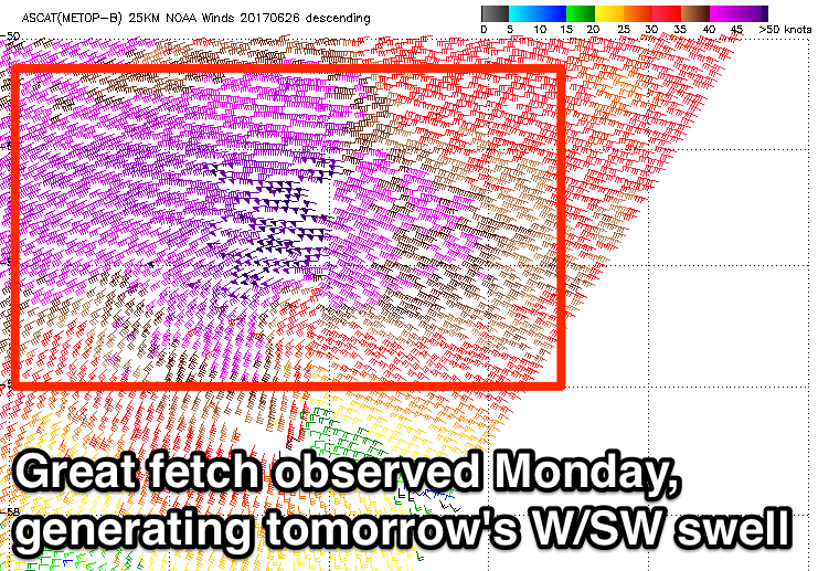
 Satellite observations have come in regarding the storm responsible for tomorrow's new long-period SW groundswell. A fetch of severe-gale W/SW winds were generated south of WA on Monday with core wind speeds hitting the 50kt range.
With this I'm more confident on there being 3ft sets tomorrow morning, but it'll be mainly in the 2-3ft range, easing through the day.
Conditions should be clean until late morning when a gusty SW change us due, and with this we may see a late increase in windswell across the coast.
Friday will reveal the most size, with a moderate sized mid-period SW swell due to fill in across the South Arm.
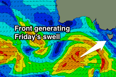
 This is being generated by a good polar front that's forming south of WA today, with it projecting a fetch of strong SW winds towards us tomorrow and early Friday.
We should see 3ft+ surf across Clifton but with poor S/SW winds, easing and tending more W/SW through the afternoon. There's a chance for a morning W/NW'ly so keep an eye on local observations.
Saturday will be clean all day with a NW offshore wind but small fading 2ft sets.
Longer term, as pointed out last update, the storm track will push too north and out of our swell window, resulting in tiny waves through early next week.
We may see a mid-latitude low moving in mid-week generating some SW-S/SW swell mid-late week, but more on this Friday.

