Strong swell for Sunday morning but with dicey winds
Southern Tasmania Forecast (issued Wednesday 11th June)
Best Days: Friday afternoon, Sunday, Monday morning
Recap
After Monday the surf has bottomed out with tiny 0.5-1ft waves maxing out across Clifton, ideal for beginners.
This week (Jun 11 - 13)
Friday afternoon is your best chance for a wave this week as a new long-range but very inconsistent W/SW groundswell fills in. This should pulse to 1ft to occasionally 2ft through the day (tiny at dawn) and winds look to go variable after a morning NW'ly.
This weekend onwards (Jun 14 onwards)
The weekend is now looking better swell wise, but winds may be a little dicey.
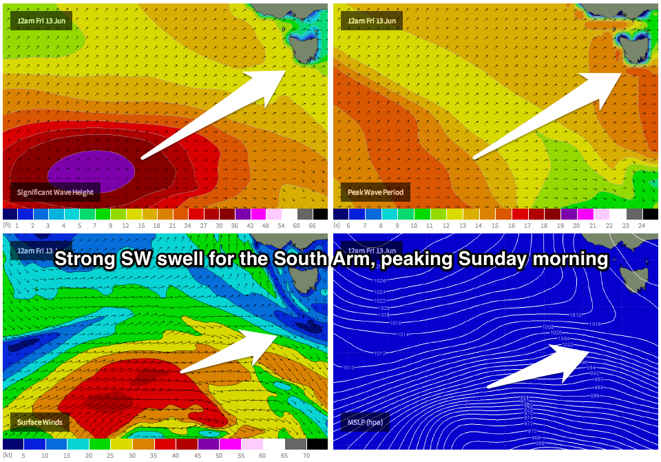
A new SW groundswell due for Sunday has been upgraded with the polar front generating the swell coming in a lot stronger and more consolidated than forecast on Monday.
 This system is currently pushing along the polar shelf south-west of WA and will generate a fetch of severe-gale W/SW winds through our south-western swell window while tracking east and then up towards us over the coming days.
A medium sized SW groundswell should result, arriving later Saturday and peaking Sunday morning to 3-4ft+ across Clifton. Winds are unfortunately looking a little dicey as a surface trough deepens off the East Coast resulting in a light SE breeze that will swing more SW during the day.
Monday should be cleaner with a morning W/NW'ly but the swell will be dropping rapidly from 2ft to possibly 3ft or so across Clifton.
Longer term there's nothing major on the cards, so it may be worth making the most of Sunday's swell, even with the dicey winds.

