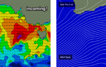
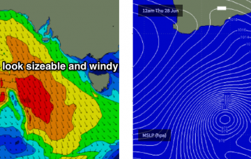
The low pressure system driving this front is a beauty, and it’s aimed fair and square into Kangaroo Island.
Primary tabs
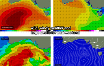
A much more powerful front, steered by an active node of the Long Wave Trough, will push into our region early Saturday, delivering squally SW winds across the coast and a proper 3-5ft Mid Coast stormy throughout the day with small waves on the metro beaches.
It’s a great synoptic pattern for swell on the Mid Coast though we’ve obviously got a lot of onshore wind to deal with.
Not an inspiring weekend ahead.
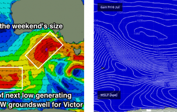
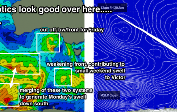
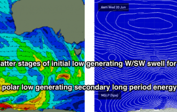
The most promising part of this weather progression is probably the interaction between a polar low and a pre-frontal W/NW flow to its north, positioned S/SW of WA on Thurs/Fri.
Today's easing swells will continue to abate into Tuesday and will become very small by the afternoon.
The expected new swell is still on track for the weekend, despite the lack of any sign of its leading edge at the Cape du Couedic buoy.
At some point on Friday, we’ll see the leading edge of a new long period groundswell that’s due to provide plenty of surf for the weekend.
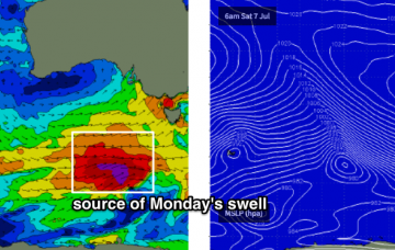
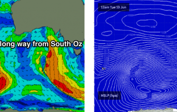
The source of this new swell is a powerful low pressure system currently in the Southern Indian Ocean.
Unfortunately, all of this swell will largely go to waste at Victor thanks to accompanying southerly gales.

