/reports/forecaster-notes/south-australia/2020/01/10/good-westerly-swell-the-weekend-plenty-more
Craig
Friday, 10 January 2020
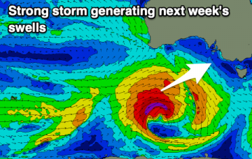
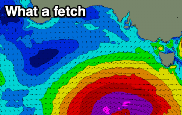
Good waves across the Mid Coast over the weekend, with more swell next week but poor winds for the South Coast.
/reports/forecaster-notes/south-australia/2020/01/08/easing-surf-ahead-good-weekend-wsw-swell
Craig
Wednesday, 8 January 2020
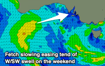
Cleaner conditions as the swell eases over the coming days ahead of a good W/SW groundswell for the weekend.
/reports/forecaster-notes/south-australia/2020/01/06/couple-good-swells-the-way
Craig
Monday, 6 January 2020
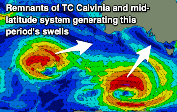
Plenty of swell for both coasts on the way with workable winds, mostly cleanest on the Mid Coast.
/reports/forecaster-notes/south-australia/2020/01/03/poor-weekend-better-mid-late-next-week
Craig
Friday, 3 January 2020
After a good run of waves, we've got a few days of poor surf, improving from mid-next week.
/reports/forecaster-notes/south-australia/2020/01/01/get-stuck-in-the-next-couple-days
Craig
Wednesday, 1 January 2020
A slow drop in swell with favourable winds over the coming days, poor from the weekend.
/reports/forecaster-notes/south-australia/2019/12/30/good-run-the-west
Craig
Monday, 30 December 2019
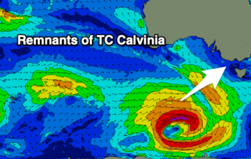
Plenty of fun surf days this period with tomorrow the poorest though still fun. Mostly swell from the W/SW.
/reports/forecaster-notes/south-australia/2019/12/27/poor-weekend-better-surf-next-week
Craig
Friday, 27 December 2019
Nothing to recommend on the weekend with a fading swell and deteriorating winds. Better options next week with plenty of W/SW swell.
/reports/forecaster-notes/south-australia/2019/12/25/plenty-wsw-swell-the-way
Craig
Wednesday, 25 December 2019
A good run of W/SW swell on the way favouring the Mid Coast over the South Coast.
/reports/forecaster-notes/south-australia/2019/12/23/looking-towards-the-west
Craig
Monday, 23 December 2019
Easing surf over the coming days ahead of a good W/SW swell and more to come next week.
/reports/forecaster-notes/south-australia/2019/12/20/large-though-onshore-swell-the-way
Craig
Friday, 20 December 2019
Large, powerful, long-period swell inbound, but the winds are a big issue.. Good swell later next week.

