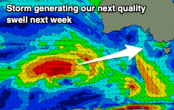
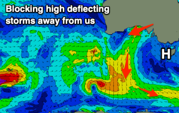
Plenty of swell on the way from the west with generally favourable winds for both coasts.
Primary tabs
Plenty of swell and workable winds this week and weekend with swells from the west.
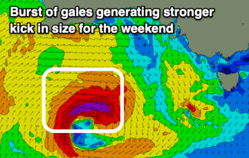
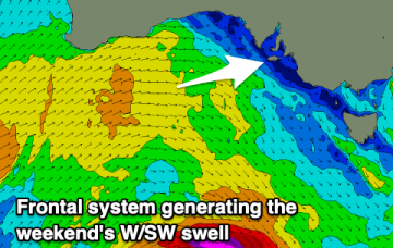
Today’s combo of swells has originated from three sources: (1) long period groundswell (just registered 18 seconds at the CdC buoy), from a deep cut off low SW of WA on Tuesday, (2) mid-range swell from the associated front that tracked through the Bight Wed/Thurs, and (3) local windswell from local 20kt NW winds. More in the Forecaster Notes.
Today will be spent periodically checking the buoys to monitoring the leading edge of an approaching groundswell that delivered clean 10ft+ sets across the Margaret River coast yesterday. More in the Forecaster Notes.
Tomorrow is looking great across the Victor stretch. More in the Forecaster Notes.
We’re still looking at large swell event building steadily through Saturday, peaking overnight and then trending slowly down into Sunday. More in the Forecaster Notes.
We’ve got a couple of average days of waves ahead. But it's looking great for the long term. More in the Forecaster Notes.
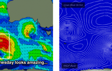
This week's Southern Ocean low looks incredible on the synoptics this week. More in the Forecaster Notes.
Clean, peaky but weak waves on the weekend, becoming tiny ahead of some new swell from mid-next week.
Not the best outlook with some OK windows of waves on the South Coast for the keen, tiny and clean on the Mid.

