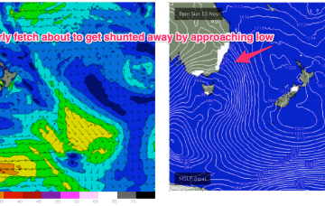
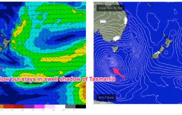
We’re past the peak of the current S swell event as the large low pressure system drifts towards New Zealand, weakening as it does so and a more mobile high pressure system moves north-east into the Tasman Sea, bringing N’ly winds.
Primary tabs
Strong N'lies over the weekend as S swell eases with another round of overlapping S swells next week
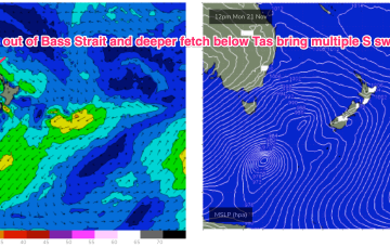
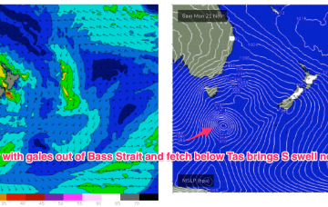
The low east of Tasmania moves NE and joins other areas of troughy low pressure to form a large low pressure gyre which occupies most of the Tasman Sea through the latter part of this week. Surf size will be limited by the relatively weak supporting high pressure cell which is currently tracking through the Bight. We’re still looking at plenty of moderate size surf from the S quadrant to end the week and carry through into the start of the weekend.
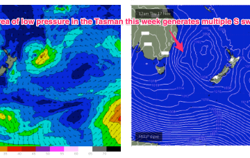
Through the early part of this week the low slips SE of Tas and a complex, troughy pattern with multiple low centres sits in the Tasman. This complex low pressure area eventually gets squeezed by an oncoming high generating fresh S’lies and which overlap with deeper S’ly fetches to create a series of S swells later this week.
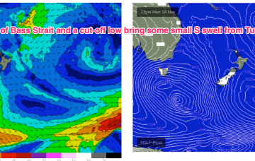
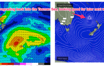
We’re looking at a complicated synoptic set-up from Wed next week with multiple small low pressure troughs off the NSW Coast and the remnants of a cut-off low which tracks SE into the Tasman as it weakens.
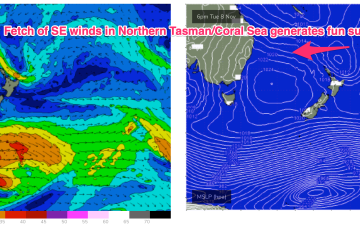
We’re in the middle of the blocking pattern which is coming in a little weaker than modelled. High pressure (1025hPa) sits in the Central Tasman directing a fairly insipid SE flow through most of the Central/Northern Tasman and extending into the Coral Sea. A long trough through the Coral Sea and South Pacific with embedded low pressure centres is not tightening the pressure gradient to the extent modelled. As a result surf is coming in at the low end of f/cast expectations, and this soft trend is expected to continue.
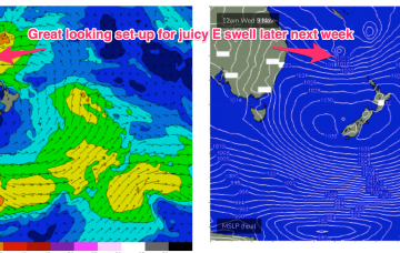
We’re looking at a fairly static, summer-style blocking pattern this week with semi-stationary high pressure in the Tasman, and a ridge up along the Eastern seaboard with SE winds in the North, E/NE to NE winds from the Mid North Coast down to Southern NSW. A long trough line extending from the Solomon Islands to the North Island spins off some small low pressure areas this week. Although not quite as spectacular as model runs suggested last week we’re still in for some fun E swell this week with a juicier pulse expected late this weekend.
Charts have looked great all week with a low pressure system drifting in from the Coral Sea inside the North Island but the bad news is the low is now expected to track down the outside of the North Island with a major downgrade in swell potential.
While they are not ideally positioned for maximal S swell production up the East Coast we are still looking at some useful S swell pulses over the rest of the week and into the weekend. Following that we are back to a typical summer pattern with plenty of fun E swell expected next week.
While we won’t get the full payload of S’ly swell from this system as the system gets shunted SW as it enters the swell window (NE would be ideal!) we’re still on track for a few usable S swell pulses this week mostly south of the border, with a trailing frontal system providing bigger S swell into and over the weekend.
Our Autumnal run of surf and condition is now going to be replaced by a more late winter-style pattern, dominated by W’ly winds. A complex low pressure gyre is located over Tasmania with a trough having moved offshore from the NSW coast and a cold front pushing through Bass Strait today.

