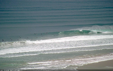
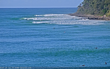
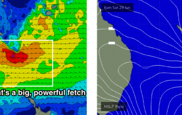
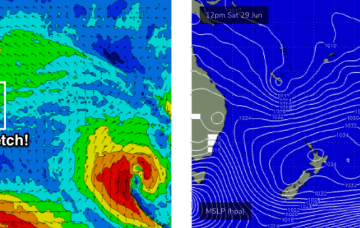
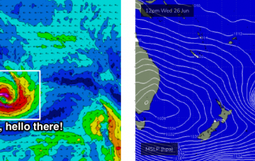
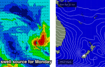
There’s no need to be overly specific in the weekend outlook: Saturday will be similar to today. But there are some great beachbreaks ahead for the next week. More in the Forecaster Notes.
Primary tabs
The automated forecasts are calling for a significant jump in wave heights later Thursday and through Friday and Saturday. However, the source swell models are (in my view) incorrectly combining two swell trains. More in the Forecaster Notes.
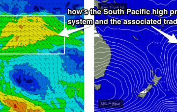
It’s odd to be looking at this kind of synoptic setup in the middle of winter. A one-day wonder is one thing, but - following two days of large E'ly groundswell - we’re staring down the barrel of another whole week of solid E’ly surf. Though, there won't be quite the same quality seen over the last thirty six hours. More in the Forecaster Notes.
We’re looking towards at least a week - maybe a week and a half - of strong, steady E’ly swells, so we really need to change the way we think about planning our surf schedule. More in the Forecaster Notes.
There’s a lot to get excited about with this tropical low - it’ll be broad, very strong, slow moving, and aimed in a really nice part of our swell window for quite a while. But, there's a downside too. More in the Forecaster Notes.
We’ve got a significant E’ly swell on the cards for next week, and the weekend should see an increase from the early stages of the same broad scale parent system. More in the Forecaster Notes.
The low responsible for both yesterday’s Sly swell and the weekend’s underlying energy will meander through the southern Tasman Sea over the weekend, in a pretty decent swell generating capacity. More in the Forecaster Notes.
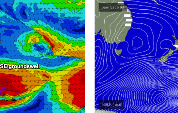
So, the fetch that generated our current E/SE swell is slowly abating across the central eastern Tasman Sea. But, that’s not the only swell expected to be in the water over the coming days. More in the Forecaster Notes.
The most dominant characteristic of the forecast period is an extended run of southerly quadrant winds. But there are plenty of waves in store. Check out the Forecaster Notes for more.
I’m not expecting much surf anywhere this weekend. But next week is a different story. More in the Forecaster Notes.

