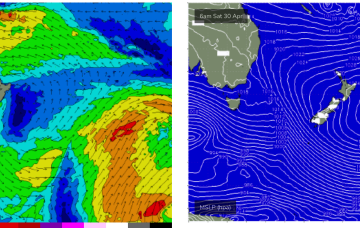
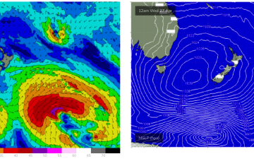
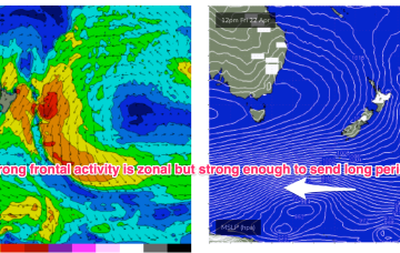
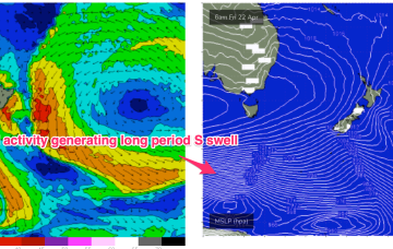
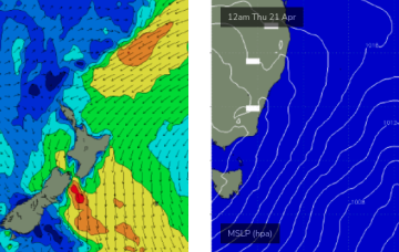
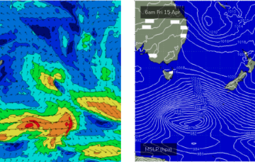
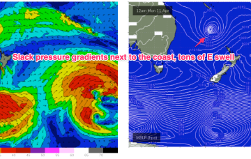
A large 1029 hPa high pressure system is sitting smack bang in the middle of the Southern Tasman Sea in a strengthening phase, with a series of tropical troughs in the Northern Coral Sea beginning to expand Tradewinds through the tropics.
Primary tabs
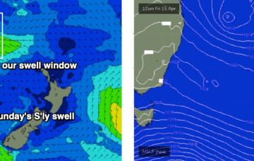
The dominant high which has been slow moving is inching into the Tasman Sea, with winds set to take a N’ly turn as it drifts eastwards and we get the flow off the western flank of the high. This slow moving high will essentially block the Southern swell window but we have one more pulse of long period S swell due this ‘noon.
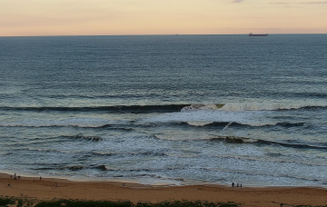
Winds look good Sunday morning, which is great news because a great blend of swell trains is expected to make landfall through the day.
Further out in the South Pacific, well to the NE of the North Island, the remnants of the long trough line through the eastern swell window, have deepened, with a broad fetch of E/NE to E winds now activated.
The northern Tasman trough that generated the last few days of east swell has intensified a small new fetch just off the west coast of New Zealand's North Island.
Looks like more of the same for the next few days.
A more dominant southerly swell will arrive overnight tonight, sourced from a deep low south of Tasmania early in the week.
TC Fili is still active within our swell window, and will probably only transit into the New Zealand swell shadow tomorrow, which means some form of east swell all week.
A large 1031 hPa high straddling Tasmania ( no longer a peanut high) is extending a deep E’ly flow along the f/cast region. TC Fili has weakened and is drifting southwards to the SE now of New Caledonia, anchored by a long fetch of E’ly winds from the cradling high. That equals lots of East swell through the coming days, but we’ve still got some onshore winds to slog through.
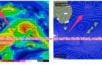
TC Fili is expected to track into the slot and stall- roughly equidistant between New Caledonia, the North Island and the East Coast of Australia. At some stage it will lose intensity and become extra-tropical but even as an ex TC the overall cradling fetch of E’ly winds is going to supply days of E’ly swell.

