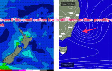
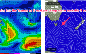
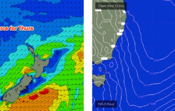
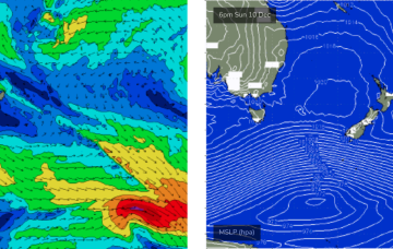
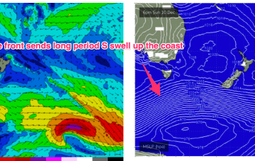
Models are divergent as to the fate of the trough with GFS suggesting a deepening of the system as it moves northwards, potentially forming a closed surface low and generating plenty of S/SE-SE swell Fri and into next weekend.
Primary tabs
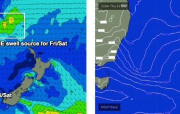
No great change to the summer pattern with a massive heat dome over Central, Western and Northern Australia spawning trough lines which are creating unstable, stormy weather across large swathes of the East Coast. A complex inland trough/low is emerging from the Gippsland coast into the Tasman Sea with a fetch of SE-E/SE winds aimed at Tasmania and offering some small sideband energy up into Southern/Central NSW.
We’ll see some small E quadrant swell off the infeed, with a North-South gradient for size but even open the Far South Coast the size will be modest and onshore winds will keep quality low. Frontal systems following this troughy pattern should supply some better quality S swell of modest size late in the week and over NYE and New Years Day.
No major change to the weekend outlook, though Sunday’s winds are looking a little fruity.
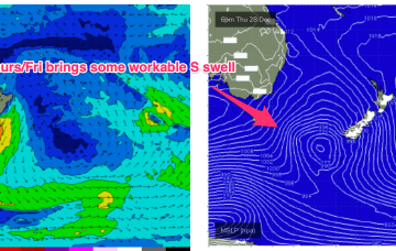
A broad trough stretching the length of the NSW coast will form a surface low well east of Eden early Thursday, enhancing an already-strong S/SE flow through our immediate southern swell window.
Lots of synoptic activity on the cards this week but ultimately just a few small windows of opportunity until the weekend when we'll see the dynamics change.
The key to scoring good surf will be to identify the timing of the wind change, as we should see westerlies somewhere in the middle.
Easing southerly swells will dominate tomorrow, and we’ll also see a small level of local NE windswell thanks to this afternoon’s developing breeze.
From about lunchtime onwards (South Coast) and late afternoon across the Sydney region, we'll be on high alert for the leading edge of a decent long period southerly groundswell.
TC Jasper is set to take a W’ly track with a Far North QLD coastal crossing now the most likely outcome and thus no real surf potential for temperate NSW.

