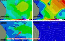
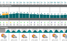
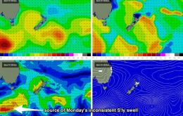
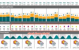
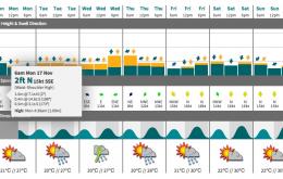
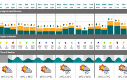
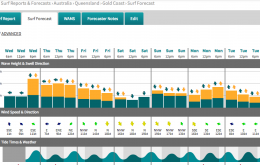
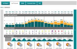
If model guidance is to be believed (and it’s hard to disagree right now) the next southerly change may not push through until next Wednesday afternoon on the Mid North Coast (more than nine days away), and sometime next Thursday morning in SE Qld.
Primary tabs
No major changes to the weekend forecast, just a slight downgrade in the size department across SE Qld.
A building ridge in the wake of the change will then maintain fresh SE winds across the region on Friday.
Tuesday looks like being a repeat performance of Saturday in the south.
Let’s divide the region into two for the weekend. South of Coffs Harbour, and north Coffs Harbour.
The only saving grace is Saturday morning - and only in the Lower Mid North Coast - where a weak, shallow and ultimately dissipating trough is likely to arrest the northerly flow in that next of the woods through the morning.
The headline says it all!
Strong northerly winds will write off surf conditions just about everywhere on Saturday.
Thursday is the pick of the forecast period, mainly due to a strengthening northerly airstream that’s going to ruin conditions at most locations from Friday thru’ the weekend.
Lots of swell due this week - nothing overly large but with several swell windows firing up and winds looking favourable for brief periods, there should be some good surf just about everywhere at some stage.

