/reports/forecaster-notes/sydney-hunter-illawarra/2021/06/30/exciting-dynamic-outlook-southern-nsw
thermalben
Wednesday, 30 June 2021
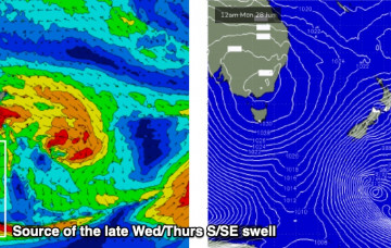
The new S/SE groundswell will peak overnight and ease through Thursday. But jeez, the forecast swell window looks good...
/reports/forecaster-notes/sydney-hunter-illawarra/2021/06/28/more-outta-the-south-then-the-window
thermalben
Monday, 28 June 2021
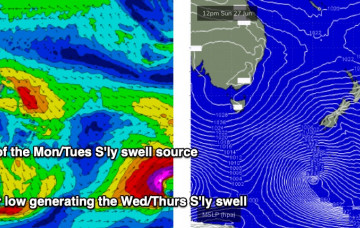
We’ve still got a few more southerly swells on the way.
/reports/forecaster-notes/sydney-hunter-illawarra/2021/06/25/coupla-decent-south-swells-the-way
thermalben
Friday, 25 June 2021
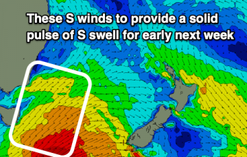
The parent polar low to this south swell will undergo reintensification south of New Zealand on Monday, generating a brief new long period S/SE groundswell.
/reports/forecaster-notes/sydney-hunter-illawarra/2021/06/23/small-the-next-few-days-s-swells-the
James KC
Wednesday, 23 June 2021
Small waves for the rest of the week before some longer period S swell arrives for the weekend and start of next week.
/reports/forecaster-notes/sydney-hunter-illawarra/2021/06/21/lingering-se-swell-going-quiet-the-end
James KC
Monday, 21 June 2021
Make the most of the next few days of waves as it’s looking to be small for the end of this week.
/reports/forecaster-notes/sydney-hunter-illawarra/2021/06/18/spike-s-swell-tomorrow-decent-run-the
James KC
Friday, 18 June 2021
The swell will quickly build tomorrow (Saturday) peaking after midday with plenty of swell filing in to start the new week
/reports/forecaster-notes/sydney-hunter-illawarra/2021/06/16/solid-swell-the-weekend
James KC
Wednesday, 16 June 2021
The Tasman Low is now looking stronger with solid waves on the cards for the weekend and into the start of next week.
/reports/forecaster-notes/sydney-hunter-illawarra/2021/06/14/small-waves-continue-the-week-bigger-the
James KC
Monday, 14 June 2021
Fairly quiet start to the week but there’s a Tasman Low looming for the weekend.
/reports/forecaster-notes/sydney-hunter-illawarra/2021/06/11/small-inconsistent-e-swell-the-weekend
James KC
Friday, 11 June 2021
A small E swell and builidng S swell for late Sunday combined with offshore winds will mean there will be plenty of options for waves this weekend.
/reports/forecaster-notes/sydney-hunter-illawarra/2021/06/09/small-e-swell-next-few-days
James KC
Wednesday, 9 June 2021
Small E swell for Sydney and surrounds but bigger for the Far South Coast.

