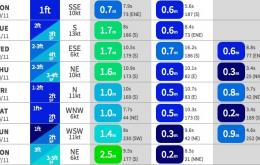
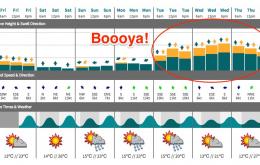
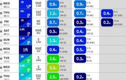
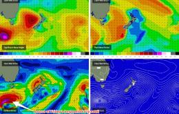
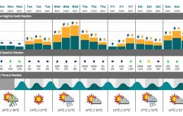
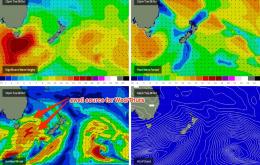
We’ve got an overarching southerly theme in store for the next four days.
Primary tabs
/reports/forecaster-notes/sydney-hunter-illawarra/2014/11/10/wide-variety-swells-coming
thermalben
Monday, 10 November 2014
/reports/forecaster-notes/sydney-hunter-illawarra/2014/11/07/terrible-weekend-much-better-options
thermalben
Friday, 7 November 2014
Poor waves ahoy!
/reports/forecaster-notes/sydney-hunter-illawarra/2014/11/05/small-peaky-ne-options-thursday-pick
thermalben
Wednesday, 5 November 2014
Freshening NE winds are generating a peaky NE swell today and this trend is expected to continue through into Thursday morning.
/reports/forecaster-notes/sydney-hunter-illawarra/2014/11/03/downwards-trend-here
thermalben
Monday, 3 November 2014
It’s a steady downwards trend from here on.
/reports/forecaster-notes/sydney-hunter-illawarra/2014/10/31/fun-weekend-waves-ahead
thermalben
Friday, 31 October 2014
We’ve got some good options on the cards for Saturday.
/reports/forecaster-notes/sydney-hunter-illawarra/2014/10/29/average-whole-plenty-options
thermalben
Wednesday, 29 October 2014
Today’s building south swell will be a short lived affair, peaking overnight and easing through the early hours of Thursday morning.
/reports/forecaster-notes/sydney-hunter-illawarra/2014/10/27/and-down-south-swell-all-week
thermalben
Monday, 27 October 2014
We’ve got a busy week of south swell across the region.
/reports/forecaster-notes/sydney-hunter-illawarra/2014/10/24/decent-ne-swell-saturday-lots-sly-swell
thermalben
Friday, 24 October 2014
Saturday morning’s looking really good for surf.
/reports/forecaster-notes/sydney-hunter-illawarra/2014/10/22/small-windows-opportunity
thermalben
Wednesday, 22 October 2014
I’m upgrading the weekend forecast to 'mildy optimistic'.
/reports/forecaster-notes/sydney-hunter-illawarra/2014/10/20/terrible-time-year
thermalben
Monday, 20 October 2014
Not a great week to get excited about surfing.

