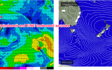
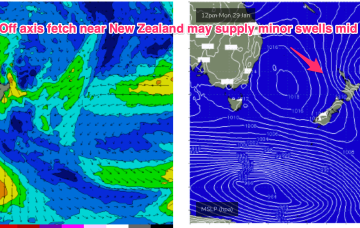
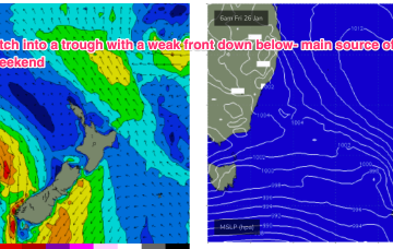
Large high in the Tasman directing plenty of E’ly-SE’ly tradewinds through the Coral Sea and South Pacific slot. Typical summer wind pattern with NE winds developing across temperate NSW, tending more E-E/SE in the sub-tropics.
Primary tabs
We’ve got a very strong high pressure belt at the moment with a cell in the Tasman (twin cells actually, straddling New Zealand) and monster high moving in from the Bight. A trough off the NSW coast is focusing SE winds along the Eastern Seaboard, with a strong front/low traversing the Lower Tasman.
As Steve mentioned on Monday, the synoptic are quite complex at the moment.
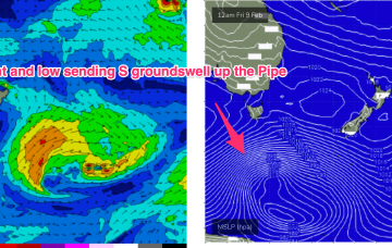
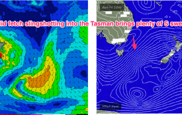
To the south, a severe gale to storm force fetch off the ice shelf from a retrograding low under the South Island sends a rare S/SE groundswell up the Pipe, with another strong front/low late this week into the weekend expected to generate another pulse of S’ly groundswell over the weekend.
A deep low with strong gales currently tracking in a NE direction SE of Tasmania justifies an upgrade in size for this weekend.
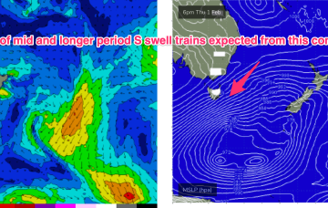
The high pressure belt is weak and moving at a more N’ly latitude than we’ve seen this summer, with a troughy pattern in the Tasman and some frontal activity under the SE of the continent continuing. A much stronger front and parent low tracks NE into the lower Tasman late this week with a broad band of gales to strong gales expected to generate some strong S swell over the weekend.
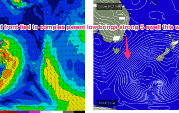
Strong S swell expected this weekend as a front with gales to strong gales tied to a complex parent low drifts slowly through the far Southern Tasman.
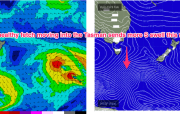
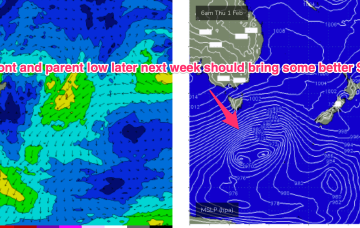
A weaker front Wed may bring some small S swell later Thurs into Fri but a much stronger system tracks NE into the Tasman Thurs/Fri with a wide band of gales suggesting a more substantial S swell event sometimes next weekend.
Absent that, with weak high pressure in the Tasman we’ve only got marginal, local wind swells to keep wave zones active this week, and into next.
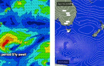
Looking south to more local sources then we have a relatively weak high (1022 hPa) moving under Tasmania with a long trough and front in the Tasman directing a S’ly fetch through the Central-Southern Tasman. Once that swell source fades we’re back to typical summer sources with a NE windswell expected late this week and a minor S swell event into the weekend.

