/reports/forecaster-notes/sydney-hunter-illawarra/2014/08/27/several-large-swells-within-range
thermalben
Wednesday, 27 August 2014
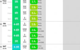
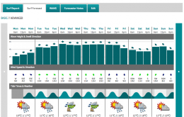
There’s no shortage of surf on tap for the rest of the working week.
/reports/forecaster-notes/sydney-hunter-illawarra/2014/08/25/whole-week-swell
thermalben
Monday, 25 August 2014
We’ve been anticipating a strong round of E/NE swell for quite some time but seeing as we’re quite close to proceedings, it’s time to firm up the specifics.
/reports/forecaster-notes/sydney-hunter-illawarra/2014/08/22/large-surf-expected-mid-next-week
thermalben
Friday, 22 August 2014
Jeez we’ve got a dynamic period of waves on the cards next week.
/reports/forecaster-notes/sydney-hunter-illawarra/2014/08/20/wide-range-swell-sources-next-week-and
thermalben
Wednesday, 20 August 2014
We should see a steady improvement in surf conditions over the next couple of days, but also a slow drop in wave heights.
/reports/forecaster-notes/sydney-hunter-illawarra/2014/08/18/plenty-surf-all-week-initially-plenty
thermalben
Monday, 18 August 2014
Swell wise, there’ll still be some leftover E/NE swell in the mix on Tuesday but for the most part it’ll be a combination of easing S’ly windswell and strong, but moderate SE groundswell.
/reports/forecaster-notes/sydney-hunter-illawarra/2014/08/15/improving-sunday-great-monday
Craig
Friday, 15 August 2014
OK waves early Saturday, but Sunday afternoon and Monday morning look to be the pick of the period.
/reports/forecaster-notes/sydney-hunter-illawarra/2014/08/13/easing-sly-swells-good-ne-swell-later
Craig
Wednesday, 13 August 2014
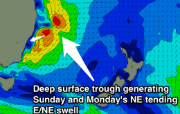
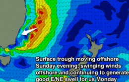
Favourable winds and easing swells over the coming days with a building and improving NE windswell Sunday as winds swing offshore late.
/reports/forecaster-notes/sydney-hunter-illawarra/2014/08/11/plenty-sly-swell-limited-options
Craig
Monday, 11 August 2014
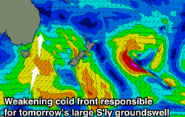
Plenty of S'ly swell this week, but the best conditions will be limited to semi-protected spots rather than open stretches.
/reports/forecaster-notes/sydney-hunter-illawarra/2014/08/08/lotsa-south-swell-next-week-and-beyond
thermalben
Friday, 8 August 2014
The strong new south swell, whose leading edge is due late this afternoon, is playing funny buggers with us.
/reports/forecaster-notes/sydney-hunter-illawarra/2014/08/06/strong-south-swells-several-em-way
thermalben
Wednesday, 6 August 2014
This afternoon’s strong south swell is expected to peak overnight, and ease slowly through Thursday. Friday is a complex day for surf.

