/reports/forecaster-notes/sydney-hunter-illawarra/2014/12/05/sunday-and-monday-looking-fun
thermalben
Friday, 5 December 2014
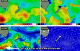
The charts are looking even more complex for the weekend.
/reports/forecaster-notes/sydney-hunter-illawarra/2014/12/03/more-troughiness-come
thermalben
Wednesday, 3 December 2014
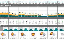
Really, there’s very little change for the rest of the working week.
/reports/forecaster-notes/sydney-hunter-illawarra/2014/12/01/troughy-pattern-bring-waves-all-week
thermalben
Monday, 1 December 2014
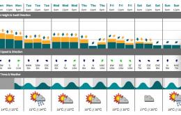
We’re looking at a persistent pattern of NE windswell and funky winds right up until the weekend, all thanks to a broad, slow moving trough across the region.
/reports/forecaster-notes/sydney-hunter-illawarra/2014/11/28/few-windows-opportunity
thermalben
Friday, 28 November 2014
A few slight changes to the weekend forecast, but the overall trend remains the same: Saturday morning is still the pick.
/reports/forecaster-notes/sydney-hunter-illawarra/2014/11/26/pulsey-south-swells-short-term-next-week
thermalben
Wednesday, 26 November 2014
The next few days are still very tricky to pin down and/or have confidence in the surf outlook.
/reports/forecaster-notes/sydney-hunter-illawarra/2014/11/24/late-arrivals
thermalben
Monday, 24 November 2014
Wednesday morning looks OK, although Tuesday night’s flush of small south swell is expected to be a brief event and will taper of during the day.
/reports/forecaster-notes/sydney-hunter-illawarra/2014/11/21/uninspiring-weekend-few-options-next
thermalben
Friday, 21 November 2014
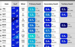
NW winds ahead of the change, plus a small peaky NE swell - could provide some fun small waves at exposed NE facing beaches on Tuesday morning.
/reports/forecaster-notes/sydney-hunter-illawarra/2014/11/19/friday-my-mind
thermalben
Wednesday, 19 November 2014
Friday looks pretty fun at this stage.
/reports/forecaster-notes/sydney-hunter-illawarra/2014/11/17/good-southerly-swell-tricky-winds
thermalben
Monday, 17 November 2014
And the good news is that we’re expecting a slew of fronts to push through the southern Tasman Sea over the next few days, which will maintain varying degrees of south swell from Tuesday thru' Thursday morning.
/reports/forecaster-notes/sydney-hunter-illawarra/2014/11/14/small-weekend-swells-renewed-southerly
thermalben
Friday, 14 November 2014
Just a small mix of swells this weekend.

