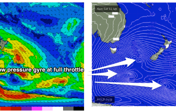
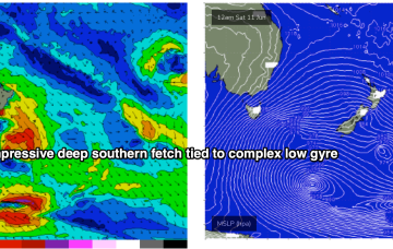
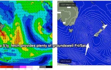
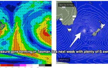
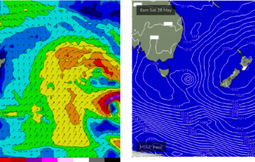
Strong high pressure support from a 1033hPa elongated high in the Bight is providing tight pressure gradients for the multiple fronts spinning off the gyre. That will lead to numerous over-lapping S’ly pulses over the coming week with a general step-ladder effect expected at least through to Mon. A general offshore flow will accompany these pulses as the fronts drive W’ly biased winds across the temperate to sub-tropical East Coast.
Primary tabs
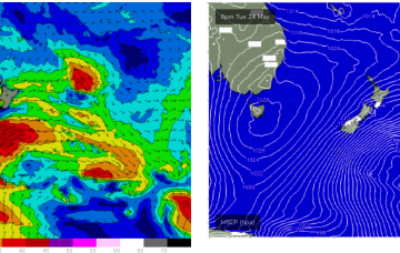
A strong node of the long wave trough is steering fronts into the Tasman Sea while a negative phase of the SAM (Southern Annular Mode) is bringing the southern Ocean storm track into a more northerly latitude, closer to the Australian continent and Tasman Sea. Both those factors will drive a series of strong cold fronts this week, with a step-ladder effect likely as each subsequent front works on an already charged sea state.
Using today's results in Southern NSW as a proxy, we should see some solid south swell across Northern NSW on Saturday.
Brisk westerly winds and a complex low pressure gyre in the Tasman Sea, with multiple cold fronts and a deep S’ly fetch of gales extending down to 55S have ushered in the first day of Winter.
Another dynamic week ahead but a bit more straightforwards in the sense that all the incoming swell will be from the S- once the current E swell pulse peters out fully through tomorrow.
Right on cue, as head into the first week of winter, a nice cold outbreak and blast of W’ly winds with accompanying S’ly swells affects the entire East Coast.
Attention will still be focused on the tropics/sub-tropics as a surface low forms at the northern end of the trough off the CQ coast through Thurs/Fri and tracks southwards into the weekend, bringing (another!) rebuild in E’ly swell.
Sub-tropical troughs and the remnants of TC Gina near New Caledonia are maintaining a deep E’ly flow through the Coral Sea while the last in a series of powerful cold fronts are now sweeping up past the South Island of New Zealand with small S to SSE swell pulses to come over the next couple of days from this source.
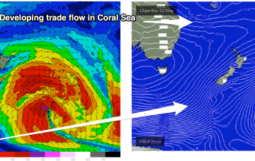
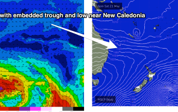
The Coral Sea has become inflamed with SE-ESE Tradewinds, enhanced by a trough off the CQ Coast and a developing low near New Caledonia. Through the weekend, short range ESE swell from the tradewind fetch will supply the dominant swell trains, especially in SEQLD.
We’re going to see multiple overlapping pulses of S swell over the coming days as fronts slingshot around the parent low on an active sea state, with the biggest surf coming with some dodgy winds as the high pressure ridge sets up. Following that an active tradewind pattern in the Coral Sea supplies another round of E swell.

