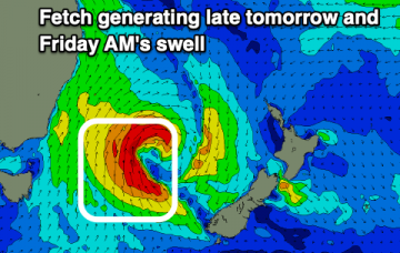
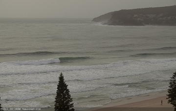
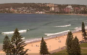
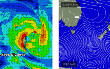
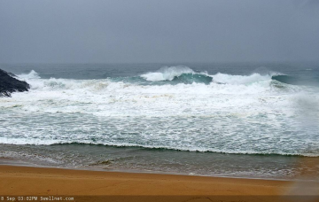
Lots of swell inbound with workable winds for the most part.
Primary tabs
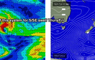
The main synoptic feature this week is a vigorous front that’ll reach SA/Vic this evening, before crossing the Southern NSW coast on Tuesday. More in the Forecaster Notes.
There’s actually not a lot of fetch trailing today’s change. But a stronger low pressure system attached to today's change, but positioned much further south, is generated some poorly aligned sideband S’ly energy that’ll fill through on Sunday. More in the Forecaster Notes.
We’re in the middle of a pattern of overlapping southerly swells, of which the swell displaying the longest periods of the week is due to build through Thursday. More in the Forecaster Notes.
We’ve got a succession of new S’ly swells inbound for the rest of the week, and the good news is that there’ll be reasonably favourable conditions most days. More in the Forecaster Notes.
A series of sustained and broad though only modest fronts through the lower Tasman Sea on Sunday will set up our next round of southerly swell for early next week. More in the Forecaster Notes.
The frontal progression through the south-eastern Tasman Sea is progressing nicely, reaching maximum intensity this morning. More in the Forecaster Notes.
We’ve got a new S'ly tending S/SE swell regime setting up for the week, thanks to a sustained pattern of cold fronts pushing from the Southern Ocean into the lower south-eastern Tasman Sea. More in the Forecaster Notes.
We’ve got a weekend of two halves. And then a series of fronts will generate slowly growing sideband S/SE swell later next week. More in the Forecaster Notes.
Thursday morning will see a brief respite in onshore winds as the current trough (with embedded lows) weakens, and a high pressure system in the Tasman Sea becomes the dominant influence on our surf for the next few days. More in the Forecaster Notes.

