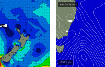
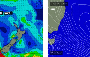
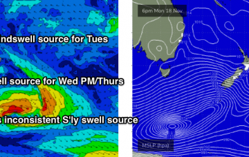
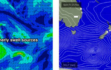
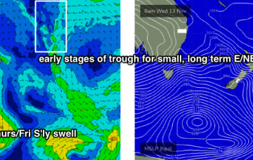
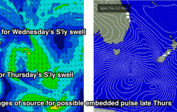
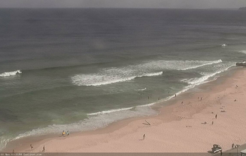
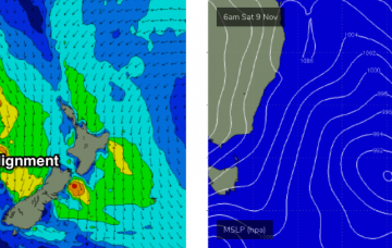
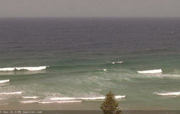
The storm track is all out of whack for our swell window right now. It's all pretty forgettable stuff, to be honest. More in the Forecaster Notes.
Primary tabs
Small persistent S’ly swell will continue for the next few days, and we've got a fun NE swell on the cards too. More in the Forecaster Notes.
At first glance, it looks like a pretty dismal week of waves ahead. But, there are small windows of opportunity and it’ll be worth keeping a flexible schedule. More in the Forecaster Notes.
Today’s S’ly swell is on the way out, so the weekend’s surf potential will need to originate from fresh sources. More in the Forecaster Notes.
We’ve got more southerly swell on the way for Thursday and Friday, from a couple of sources. More in the Forecaster Notes.
Tuesday’s southerly change will be at the the head of an amplifying long wave trough, that will dominate our surf outlook for quite a few days. More in the Forecaster Notes.
A series of fronts will rocket into the Tasman Sea overnight, building a series of overlapping short range S’ly swells into Saturday ahead of a peak late Sunday. More in the Forecaster Notes.
A vigorous cold front will cross the Tasmanian divide during the day, and westerly gales will develop across eastern Bass Strait and the lower Tasman Sea. However, the models are split on its swell potential. More in the Forecaster Notes.
The Long Wave Trough will move into the Tasman Sea over the weekend. Normally this would suggest a sustained round of solid south swell, but in this case I don’t like the particular angle of the upstream flank on its western side. More in the Forecaster Notes.
Over the last week the models have been toying around with a weak trough off the South Coast this weekend. More in the Forecaster Notes.

