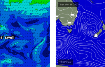
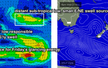
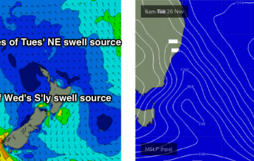
A small Tasman Low related to this morning’s southerly change is developing upon approach to New Zealand’s West Coast. More in the Forecaster Notes.
Primary tabs
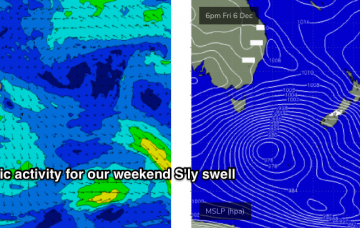
There’s not a lot of quality surf in store for the weekend, but there are waves on the way. More in the Forecaster Notes.
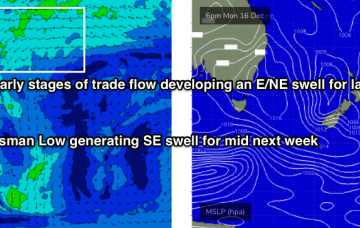
There’s not much surf in store for the rest of the week. However, next week is showing a lot of instability across the Tasman Sea, with a couple of swell generating regions to keep an eye on. More in the Forecaster Notes.
We’ve got a patchy week of waves ahead. More in the Forecaster Notes.
We’ve still got a stack of strong southerly swell on the short term outlook. More in the Forecaster Notes.
A quick glance at the latest model guidance suggests a slowly building swell today, then easing slowly Thursday before bottoming out on Friday. As per Monday’s notes, I still don’t think this is an accurate reflection of what’s going to happen in the surf zone. More in the Forecaster Notes.
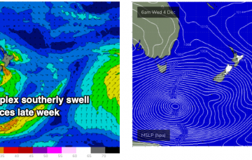
A conveyor belt of fronts crossing the SE corner of the country will generate a series of overlapping southerly swells over the coming week, holding into the weekend. More in the Forecaster Notes.
As I’ve been mentioning all week, an amplifying node of the Long Wave Trough will push into South-eastern Australia from Sunday evening onwards, slingshotting a number of cold fronts into Tasmania, South Australia and Victoria. More in the Forecaster Notes.
The low/front responsible for our current south swell has already exited the swell window, so we’re looking at a further easing of size into Thursday. More in the Forecaster Notes.
A vigorous cold front will push up the Southern NSW coast on Tuesday, reaching Wollongong late afternoon and Sydney after sunset. More in the Forecaster Notes.

