/reports/forecaster-notes/sydney-hunter-illawarra/2021/07/23/patchy-outlook-flukey-south-swells-best
thermalben
Friday, 23 July 2021
The weekend's strong frontal progression will be detached from polar latitudes, so we’re looking at another spell of small conditions interspersed with flukey south swells.
/reports/forecaster-notes/sydney-hunter-illawarra/2021/07/21/better-surf-thursday-then-run-small
thermalben
Wednesday, 21 July 2021
So, today’s large windy south swell is at its peak, and will trend down steadily through Thursday.
/reports/forecaster-notes/sydney-hunter-illawarra/2021/07/19/stacks-south-swell-mixed-conditions
thermalben
Monday, 19 July 2021
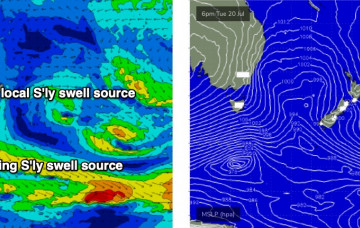
All eyes are on an advancing cold front that’s expected to sweep across the state on Tuesday night.
/reports/forecaster-notes/sydney-hunter-illawarra/2021/07/16/windy-period-couple-south-swells
thermalben
Friday, 16 July 2021
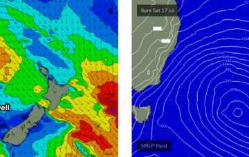
We’re at a low point in the swell department, so any weekend surf will be new energy.
/reports/forecaster-notes/sydney-hunter-illawarra/2021/07/14/mixed-bag-few-south-swells-the-way
thermalben
Wednesday, 14 July 2021
The storm track will shift further to the east, allowing SW gales to exit eastern Bass Strait and this will set up a building short range southerly swell.
/reports/forecaster-notes/sydney-hunter-illawarra/2021/07/12/back-the-small-stuff-though-theres-few
thermalben
Monday, 12 July 2021
Now that the weekend’s low has cleared our swell window, and the Tasman Sea is devoid is swell generating activity, we’re having to look further afield for swell prospects.
/reports/forecaster-notes/sydney-hunter-illawarra/2021/07/09/large-and-windy-then-pin-the-tail-the
thermalben
Friday, 9 July 2021
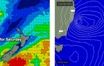
A Tasman Low is developing off the coast and will be a source of strong surf this weekend.
/reports/forecaster-notes/sydney-hunter-illawarra/2021/07/07/fun-run-south-swell-then-punchy-weekend
thermalben
Wednesday, 7 July 2021
We have some new south swell building across the coast from a series of fronts that pushed underneath Tasmania over the last few days.
/reports/forecaster-notes/sydney-hunter-illawarra/2021/07/05/the-trough-block-exits-the-south-swell
thermalben
Monday, 5 July 2021
The trough block is slowly pushing eastwards under the influence of a regional frontal progression.
/reports/forecaster-notes/sydney-hunter-illawarra/2021/07/02/rejoice-in-the-the-trough-block
thermalben
Friday, 2 July 2021
Look, I’m not one for hyperbole, but these trough blocks (that’s a new term I just made up) are fantastic for East Coast swell potential, especially Southern NSW.


