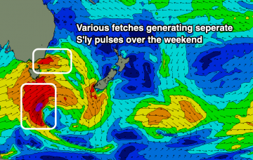
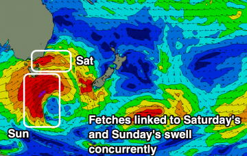
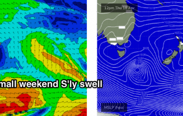
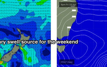
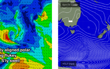
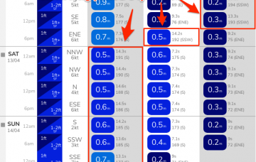
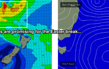
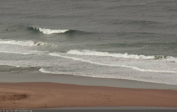
Multiple S'ly swell pulses over the weekend that are a little tricky to pin down with workable winds. One standout day for the weekend, with interesting developments later next week.
Primary tabs
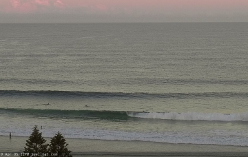
Small fun waves to end of the week ahead of building and tricky S'ly pulses (regarding timing) best from Sunday.
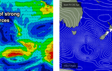
A strong round of Southern Ocean fronts will drive into the lower Tasman Sea later Friday, heralding a solid weekend sizeable south swell. More in the Forecaster Notes.
No change to the outlook - plenty of fun waves ahead. More in the Forecaster Notes.
We've got a slow upwards trend out of the E/NE from our developing trade flow in the northern Tasman Sea. And maybe a small S'ly swell too. More in the Forecaster Notes.
There’s really just one swell event worth considering this forecast period. More in the Forecaster Notes.
We’re looking at continuing small swells, generated by flukey systems on the peripheries of our swell windows, ahead of a long lived E/NE swell event. More in the Forecaster Notes.
No major swell events are expected in the short term, however we should see small waves from the south. Easter's still looking pretty good too! More in the Forecaster Notes.
Looks like a broad trough spanning much of the western Tasman Sea over the weekend will evolve into a juicy swell generating system as a high pressure system develops to the east and south. More in the Forecaster Notes.
We’ve got a multitude of small swell sources for the weekend, mainly out of the east. More in the Forecaster Notes.

