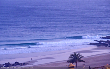
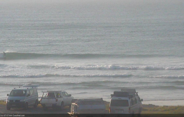
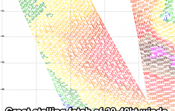
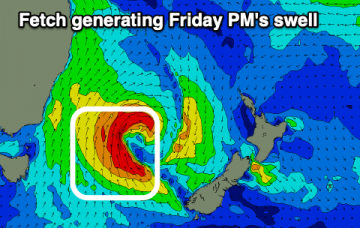
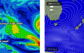
The low in the southern Tasman Sea is moving rapidly to the east, which isn’t favourable for swell prospects. More in the Forecaster Notes.
Primary tabs
It’s all well and good to debate the merits of Thursday’s inbound E’ly swell, but with northerly gales expected across most coasts at the same time, you’re going to have difficulty finding protection. More in the Forecaster Notes.
Plenty of swell ahead - but unfortunately, local winds are the real fly in the ointment this week. More in the Forecaster Notes.
A secondary larger pulse of S/SE swell for the coming period though winds will vary and come from nearly all degrees of the compass.
Lots of swell out of the southern quadrant this period though winds will limit the best waves to protected spots.
A low pressure trough has stalled on the Mid North Coast, but a vigorous front will push up the NSW coast on Tuesday. More in the Forecaster Notes.
We’ve got a lot of troughiness expected for the next few weeks. More in the Forecaster Notes.
This swell will have been sourced from a more acute part of our swell window, well below the continent so I’m expecting fewer locations to pick up the bulk size, and it’ll be a lot less consistent too. More in the Forecaster Notes.
Weak easterly swells for SE Qld with fluctuating pulses of southerly swell south of the border.
This forecast period is all about the wind. More in the Forecaster Notes.

