Queenscliff Beach: Anyone know what's happening?

that'd be a "channel" not a "culvert" (think box-pipes under roads)
Councils often excavate a notch in the dunes/sandbars at lagoon entrances that break open easier when a flood occurs, so the flooding in the lagoon is less severe. Though the timing is a bit odd, spring is not well known for flooding around these parts

"that'd be a "channel" not a "culvert""
If I told you I did a Diploma in Civil Engineering you'd think I was lying. Anyhoo...there's already a pipe that flows from the lagoon to the sea, it's a concrete channel that turns in to a culvert-type-thing and is located at the base of the cliff face. You can see it in the shots. That's what makes this channel-type-thing so puzzling.

Maybe because of the lack of rainfall they are actually trying to get the tide to flood into the lagoon and fill it up a little?
Just passed the highest tides of the month hence the timing?
They manage the lagoon entrance for flood management and water quality, although it doesn't necessarily work all that well.
www.coastalconference.com/2007/papers2007/Danny%20Wiecek.pdf
They were probably trying to get some tidal flushing.
BTW, the natural state of the lagoon is to be closed most of the time.
Don't know if I can help you work out why they've done it, but it's not a once off. They probably excavate that channel out once or twice a year for whatever reason. Surprised you haven't noticed it before.
I reckon Craig is probably close to the mark. Try and get some water back into the lagoon on the high tides as there's been bugger all rainfall recently?
Well I only moved to the area two years ago and rarely surf Queenscliff, let alone walk the beach.
Alakaboo,
If they were attempting to flush the lagoon it doesn't appear to have worked too well as the channel is barely wet. Also, why flush the lagoon when the man-made channel running along the cliff face flows non-stop as it is now? Make more sense to block that, let it build up, then unblock it.
Public servants, eh? What do they know...

They know Pork Barrel politics all too well.
Gotta maintain that funding in next years budget you know.
Congrats to you and the missus getting your boys home.
interesting photo's been ages since i have been to queensy, but surfed there heaps as a grom. i remember there used to be big dunes going all the way back under the bridge. and the channel seemed to be running with water a fair bit. could be a misconstrued memory. but those photo's brought back these thoughts. nice one
Yeah Stu, I was off the mark with the tidal flushing.
Seems it is part of the flood management process to clear a channel when it has been dry, to prevent the water level getting too high before the natural breakout.
Current flood study info is here: http://gis.wbmpl.com.au/manlylagoon/About.html
If you link through to the interim report they say:
"The Manly Lagoon Floodplain Risk Management Plan (DLWC, 1997) outlines the following important aspects of the entrance management procedure:
ï‚· Control of sand accumulation in the vicinity of Queenscliff Bridge, and maintenance of a channel across the beach during dry weather periods; "
Cheers 'Boo.
And cheers too Zen. Some big days (and nights) ahead.
Went for a wander up the beach this arvo and noticed that someone had been digging a culvert in the sand from the lagoon to the beach bypassing the usual drainage pipe. From a distance I thought it was the handiwork of kids trying to bust Manly lagoon and rearrange the banks out front. Good on 'em, I thought, restoring Queenscliff Beach to its natural state with a proper lagoon entrance and ever-changing sand supply.
On closer inspection it was obvious this was the work of heavy machinery. Anyone know what's happening and what they're trying to do?
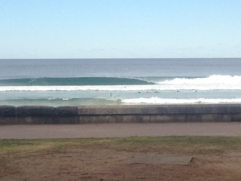
And a photo from Friday arvo when the south swell first hit.