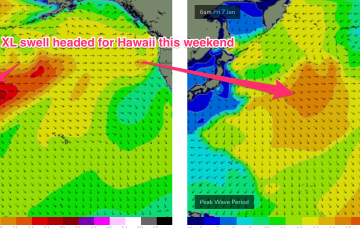
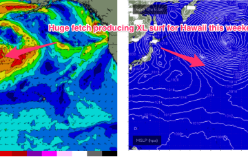
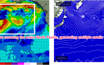
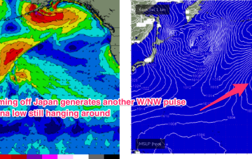
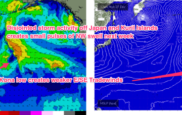
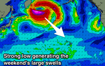
A monster storm consisting of twin lows pushing off Japan and the Kuril Islands with severe gales to storm forces winds over a huge area pushes seas in excess of 30ft to within 1000nm of Hawaii.
Primary tabs
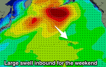
The drop in size is short-lived as an XL swell event builds in for the weekend 8/9 Jan. This swell will be generated by one of the powerful storms pushing off Japan as part of the huge cyclonic gyre covering the North Pacific.
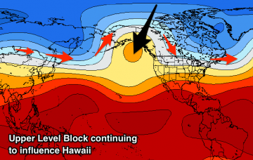
Stronger surf fills in next week as a more winter-calibre storm pattern begins to set in, with storms off Japan following a favourable jet stream pattern.
Following that a severe winter storm forming north of the Aleutian arc this weekend and swinging from the Alaska Peninsula with storm force winds is aimed mostly at West Coast USA targets.
Swell eases Wed before two more pulses of NW swell, generated by fronts pushing off the Kuril Islands, before being shunted up towards the Aleutian Islands.
W/NW energy from severe gales between Hokkaido and Honshu is expected to build surf Mon with 13-15 second period energy seeing wave heights rise to Hawaiian 4-5ft. Peaking Tues in the 6ft+ range before easing during the day. Lighter E’ly trades suggest an excellent day of surfing.
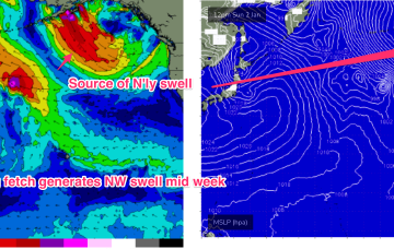
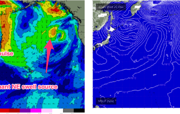
A strong high drifting into the Gulf of Alaska towards the west coast is maintaining a firm ridge extending from the coast of British Columbia into the Central North Pacific, with angular spread from the predominant N’ly fetch producing a N/NE swell for Hawaii’s North Shore.
Large NW groundswell for Hawaii over the weekend, with a fun swell for Micronesia and plenty of trade-swell for PNG.
An improvement in the surf and winds from the weekend with large clean and challenging waves for experienced surfers.
Easing swell and then nothing significant on the North Shore until next weekend, much better in PNG.

