A great run of autumnal swell in the offing

Victorian Forecast by Ben Matson (issued Friday March 14th)
Features of the Forecast (tl;dr)
- Smaller surf Sat with generally light winds and sea breezes, best at the open beaches
- New long period groundswell building Sunday, good winds for Torquay early (bigger later but likely wind affected)
- Late Sunday and Monday looking good for Western Port, and the protected points of the GOR
- Tues/Wed/Thurs: strong surf (large on Wed) with generally variable winds
- More swell due in the following week
Recap
Small leftover surf on Thursday wasn’t really big enough for the Surf Coast, but the open beaches east of Melbourne offered slow, inconsistent 2-3ft sets with light winds. A new groundswell filled in overnight and we’ve seen good quality 2-3ft+ sets west of Melbourne during the morning, though moderate onshores developed across the region from late morning onwards, adding unwelcome bumps. Similar conditions have played out east of Melbourne with more size, around 4-5ft.
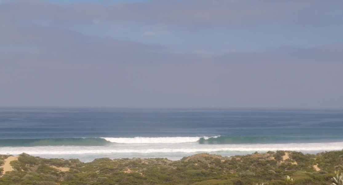
Strong clean lines east of Melbourne this morning
This weekend (Mar 15 - 16)
Today’s swell will ease into Saturday, and winds should be generally light and variable through the morning, ahead of an afternoon sea breeze. We should still see enough size for options west of Melbourne though it’ll remain very inconsistent, perhaps 2ft+ at times (outside chance for some bigger waves from a reinforcing mid-range swell, as discussed earlier this week). East of Melbourne should manage 3-4ft+ across the open beaches, though equally inconsistent.
A new long period groundswell is expected to show at the Cape Sorell buoy during the day and we’ll see a corresponding increase in size into Sunday.
However, a vigorous front is due to cross the coast in the monring, and most of the day will be spoiled with accompanying strong SW winds.
Fortunately, there should be a window of a few hours early morning - probably up until about 9am or 10am - where winds are temporarily lighter from the W/NW, which should provide clean conditions across the Surf Coast reefs. Size is expected to build from 2-3ft to 4-5ft+ as the day wears on, but finding the perfect window as the swell starts to muscle up - but just before the onshore change arrives - will be tricky (earlier will be better, albeit smaller). That being said, the protected points along the Great Ocean Road should have options after lunch.
East of Melbourne may not fare as well for an early surf as the open beaches may still be wind affected anyway by the pre-frontal W/NW flow. Better options are likely late afternoon inside Western Port as the groundswell really starts to show its true size, as it’ll offer a degree of shelter from the wind.
Next week (Mar 17 onwards)
We’ve got a great run of autumn swell lining up for the state next week. Remarkably, the outlook is still holding close to what was expected back on Monday (and Wednesday).
A powerful conveyor belt of Southern Ocean fronts and lows will generate overlapping groundswells that’ll arrive from Sunday thru’ Friday.
Initially, Sunday afternoon’s strong onshore winds will persist through Monday and therefore confine the best conditions to sheltered locations, though exposed spots will be quite big anyway, pushing into the 6ft, almost 6-8ft range along the Torquay swell magnets.
Chances for an early window of lighter W’ly winds in Torquay are only low on Monday, as the synoptic features of Sunday’s front will probably override the topographical influences (in any case, all-night onshores will create a disjointed sea state anyway). So keep your expectations low for quality surf.
East of Melbourne will be bigger, north of 8ft at exposed beaches with decent options inside Western Port, though winds will probably veer more S/SW through the day too and this may create some surface quality issues here.
The rest of the week will see surface high pressure dominate the broader region, resulting in generally variable winds. Note: ‘variable’ means ‘from any direction’ which could be onshore at times, though no major strength is required.
Monday’s large swell will ease back into Tuesday but we should still see 4-5ft surf in Torquay in the morning (smaller later), with 6ft+ sets east of Melbourne.
A new groundswell will push wave heights back up into the 4-6ft range in Torquay during Wednesday, sourced from an intense polar low skirting the ice shelf on Sunday. We should see great waves at many locations, with the east Coast’s open beaches pushing 6-8ft at times.
Wave heights will then slowly ease from Thursday into Friday, though there’ll still be plenty of great waves across most coasts as conditions remain favourable.
The longer term outlook suggests a quieter weekend ahead of a renewal of activity in the following week as the Southern Ocean storm track fires up again.
All in all, it’s looking like a great couple of weeks of waves ahead.
See you Monday!
Comments
East of Melbourne seems to have done pretty well this year the look of what I've seen on the cams and surf reports. There have been waves on the Surf Coast, but just the usual summer stuff and not very inspiring. Hopefully this coming run of swell produces some quality sessions, we are certainly due for it. Will the wind cooperate is the big question. I will curb my enthusiasm until I am paddling out in a good quality line up.
being at the right place at the right time (for good banks) total dart board job. re hoaxcoast
Most crowded I’ve seen surfcoast on Sunday morning and slow for a long long time
Was fun though! Mornings always busy.