Two complex, unusual swell events on the boil

Sydney Hunter Illawarra Surf Forecast by Ben Matson (issued Mon 24th Mar)
Features of the Forecast (tl;dr)
- Unusual long period S/SE swell building Tues, easing Wed, could be punchy at some exposed spots
- Small clean leftovers Thurs/Fri
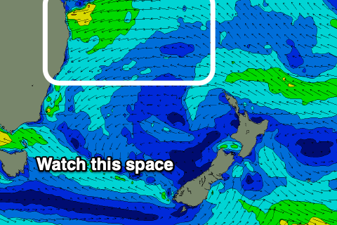
- Complex scenario unfolding for the weekend with freshening NE winds and building NE swells as a trough moves down the coast, low confidence for now
Recap
Small southerly swells offered 1-2ft waves across south facing beaches on Saturday (smaller elsewhere), with a little more consistency in the upper end of this size range showing into Sunday. The Hunter picked up a touch more size, around 2ft+ and 2-3ft respectively. Winds were light so conditions remained clean. Gradually easing size today has still been enough for stray 2ft sets across south facing beaches this morning.
This week (Mar 25 - 28)
Tuesday’s unusual long period S/SE swell is still inbound for Sourthern NSW. ASCAT observations picked up very strong winds on Friday/Saturday however we need to keep in mind that the size of the fetch at low latitudes is actually much smaller (relative to the mercator map projection) so what looks impressive at first glance is actually somewhat exaggerated.
That being said, any long period energy with a touch of east has the potential to over perform, and because the models don’t see a lot of these kinds of events, they tend to underpredict wave heights. Our surf model is only expecting an afternoon peak in the 2ft range, whilst Steve’s notes from Friday (and my quick analysis this morning) suggest we could see much more size at south swell magnets, up to 3-4ft.
Of course, it goes without saying that this is a tricky, low confidence event so I’d be reluctant to pack the car overnight for a pre-dawn mission - but it’ll be well worth keeping an eye on things.
As for conditions, a weak, stalled trough off the Far South Coast and a weak ridge across the Mid North Coast should result in variable conditions for much of the week. So whilst there is a chance we may see brief periods of onshore winds, it’ll be generally light in strength.
Tuesday’s surf size will ease through Wednesday (so get in early for the biggest waves, it should be a reasonable percentage of whatever we see late Tuesday.
Thursday and Friday will be back to small residual energy from all swell windows. Light winds will keep conditions clean but we’ll have to focus in and around the swell magnets.
This weekend (Mar 29 - 30)
We’ve got a very tricky weekend ahead.
A deepening trough off the central Qld coast later this week is expected to move south, broadening and strengthening an E’ly tending NE fetch adjacent the Northern NSW coast.
Right now there’s too much variability in the model guidance to be totally confident on surf prospects. It’s evolving with each model run and we are going to see more changes over the following days.
But the current thinking is for Saturday to start off small with light winds, before freshening NE winds and building NE windswells increase wave heights throughout the day - of which it could become quite punchy (though likely average to poor in quality).
Sunday is looking to be generally solid from the NE, and with a chance for a small low to form within the trough line, off the Southern NSW coast, which could swing gusty NE winds around to the S and maybe even W.
Honestly, it’s one of those dynamic synoptic outlooks that we’re going to have to watch closely from model run to model run. I wouldn’t recommend making a final decision on when and where to surf until Friday.
Next week (Mar 31 onwards)
The outlook into next week will hinge solely around how the weekend’s synoptics evolve, so with the current high degree of uncertainty, there’s no point speculating about what may or may not happen.
See you Wednesday!
Comments
Great to see some decent size again shame it’s 200m close outs.
Ha.
Just drove past curl curl. Easy 4ft maybe 5ft set closed out the entire beach.... hopefully it settles down slightly tomorrow morning and gets more peaky
Unfortunately it'll still have plenty of period and straightness to it.
You were correct. High tide eating up most beaches as well.
Wollongong is doing that funny thing it does with south swells.
pretty happy with the arvo effort. Crowded and long lulls but good fun. Was like a family reunion, faces not seen in months!
Sydney continues to suck even with a bit of swell !!
Banks in Shire ho hum still - although with the period they are rarely great. Yesterday arvo was consistent 2 ft with the odd 4ft bombs breaking 100m further out around every 20 mins or so. On the plus side the water was warm, conditions nice so the paddle was worth it .