Average period ahead, but the long term's starting to look a little more spicy

Sydney Hunter Illawarra Surf Forecast by Ben Matson (issued Wed 19th Mar)
Features of the Forecast (tl;dr)
- Bumpy NE windswell for Thurs with freshening NE winds
- Small S'ly groundswlel filling in under the mix on Thurs
- Both swells easing Fri with gen ligh/var winds
- Tiny weak surf this weekend, outside chance for a small flukey S swell late Sat/Sun
- Very small early next week
- Solid S swell Thurs/Fri
Recap
Easing 4ft southerly swell across most south facing beaches on Tuesday (4-5ft in Newcastle) with clean morning conditions under an early W’ly flow ahead of a late afternoon sea breeze. Size eased to 2-3ft today and early light N’ly winds are now moderate to fresh NE, along with a small building local NE windswell.
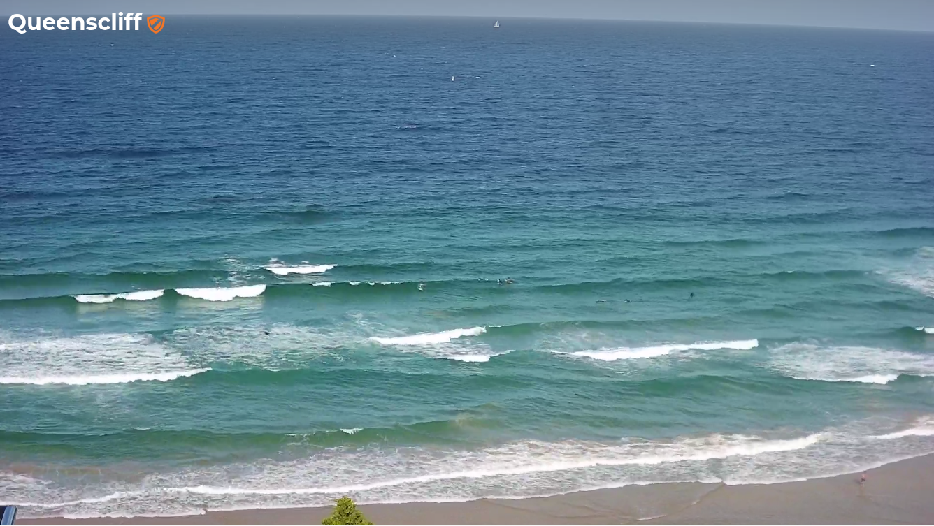
Small, weak, jumbled NE windswell building across the coast this afternoon
This week (Mar 20 - 21)
Thursday looks like a bog standard low quality building NE windswell event.
We’ve got a high pressure system in the Tasman Sea, and a ridge along the coast that’ll freshen the breeze through the day. Surf size should hold in and around the 2-3ft range for much of the day, but only at NE facing beaches, which will also be wind affected thanks to the accompanying breeze.
At the same time, we also have a a small south swell that’ll nose into the coast during the morning, peaking into the afternoon, generated by strong but poorly aligned cold front below the continent earlier this week.
In general we’re looking at very inconsistent, long-lined 2ft sets however I wouldn’t be surprised if some of the region’s more reliable south swell magnets pick up 2-3ft waves. Of course, northern ends will pick up the most size and also offer the best conditions under the NE breeze, so the consistency trade-off (compared to the more frequent but lower-energy NE windswell) will be worthwhile.
Both swell sources will ease slowly through Friday though early morning should still show a healthy percentage of Thursday’s size. Surface conditions should also improve slowly as a weak front approaches from the south.
At this stage it’s not expected to reach the Illawarra until after dinnertime, so local conditions north from here should be pretty good under a variable flow for most of the day (note: ‘variable’ means ‘from any direction, which could be onshore - though no major strength is expected or any significant length of time).
Size will ease during Friday, so aim for an early session for the biggest and best options.
This weekend (Mar 22 - 23)
Most of our swell windows will be devoid of primary swell generation over the coming days, which means the weekend’s looking pretty small in the surf department.
The only glimmer of hope is an intense but poorly aligned low pressure system passing south of Tasmania on Thursday, that will generate some minor long period sideband energy, arriving Saturday afternoon and peaking overnight before easing through Sunday.
However, at this stage I’d be surprised if we see much more than a lazy, super inconsistent 2ft wave at a handful of reliable south swell magnets, with tiny to flat conditions elsewhere. The off-axis nature of the low will probably overshadow its strength (and the corresponding long swell periods) and so the glancing energy is only a low confidence event for most beaches.
At least conditions will be nice and clean both days with light variable winds and sea breezes.
Next week (Mar 24 onwards)
Next week still looks initially slow on the local synoptics (so the first few days will maintain very small surf conditions), however we have a couple of areas of interest to keep an eye on.
First of all, a stationary high in the Tasman Sea will broaden a ridge across its northern flank, which, although unfavourably aligned for Southern NSW, may see the development of a surface trough at its tail, which could be a future source of small distant east swell for us (towards next weekend and the adjoining week).
Prior to then, model guidance is also suggesting we could see a sharp trough cross the Tasmanian divide mid–week, resulting in a strong Tasman Low somewhere east of Bass Strait by Thursday and a resulting punchy south swell for late Thursday and/or Friday.
It’s still early days right now, but we’ve got quite a bit to monitor into the long term which should rebuild the froth levels from the current slump.
See you Friday!
Comments
The misery continues.
yesterday was pretty sick. 4-5 ft offshore. With few different peaks to spread the crowd.
Does anyone know the facebook page/ group of the photographer that was at curly? The guy told me "Surfers & photographers northern beaches"??? but I can't find it.
Hey Simon, is this it? https://www.facebook.com/groups/290742408608893
yep that's the one. He just posted the photos tonight....and I got 2 shots :) just cruising on my 6 6 fish
No sign of the 0.5 ft 17.2sec here yet still 2ft
Definetely in the water here, though I can only tell from the spectra.
A weird one it is too. Usually, long interval energy is very well defined on the Directional Spectrum, sharply delineated in period and direction. This one is diffuse and reads more like a washy short period swell.
Might be running late up here ..
Looks like it's in the water north of you:
https://www.mhl.nsw.gov.au/Station-CRHDOW
At such a long period, it might be a 'magical numbers' scenario - long period energy being steered this way or that by offshore bathymetry.
Clean, straight 2ft sets showing at Bondi.
I was hoping for a bit of extra punch today the 3 to 4 foot range. A touch optimistic
Well, that would have been bigger than forecast! Optimism only goes so far these days.
Good sets at Cronulla last night, particularly on dark. Today - agh back to crud
It's still perfect for the groms, the 9ft +++ crew, motorised Foils, paddle boards, basically any craft except a short board ( if ur over say 50 kg.) Nice early morning glassy conditions too!
There was a good pulse on sunset; 4-5 waves sets@15s ...approx 20min apart