Coupla interesting swells, but local winds look problematic
Sydney Hunter Illawarra Forecast by Ben Matson (issued Fri Jun 28th)
Features of the Forecast (tl;dr)
- Tiny weekend, clean up until a S'ly change around lunchtime Sun
- Building southerly swells Monday, but wind affected under a S'ly flow (possible patches of early SW breezes)
- Better S'ly swell for Tuesday with early offshore winds, onshores may kick in after lunch, late kick (mainly South Coast) in new S'ly swell
- Good S'ly swell Wed (tho' easing) however winds look dicey
- Average but surfable conditions for the rest of the week
Recap
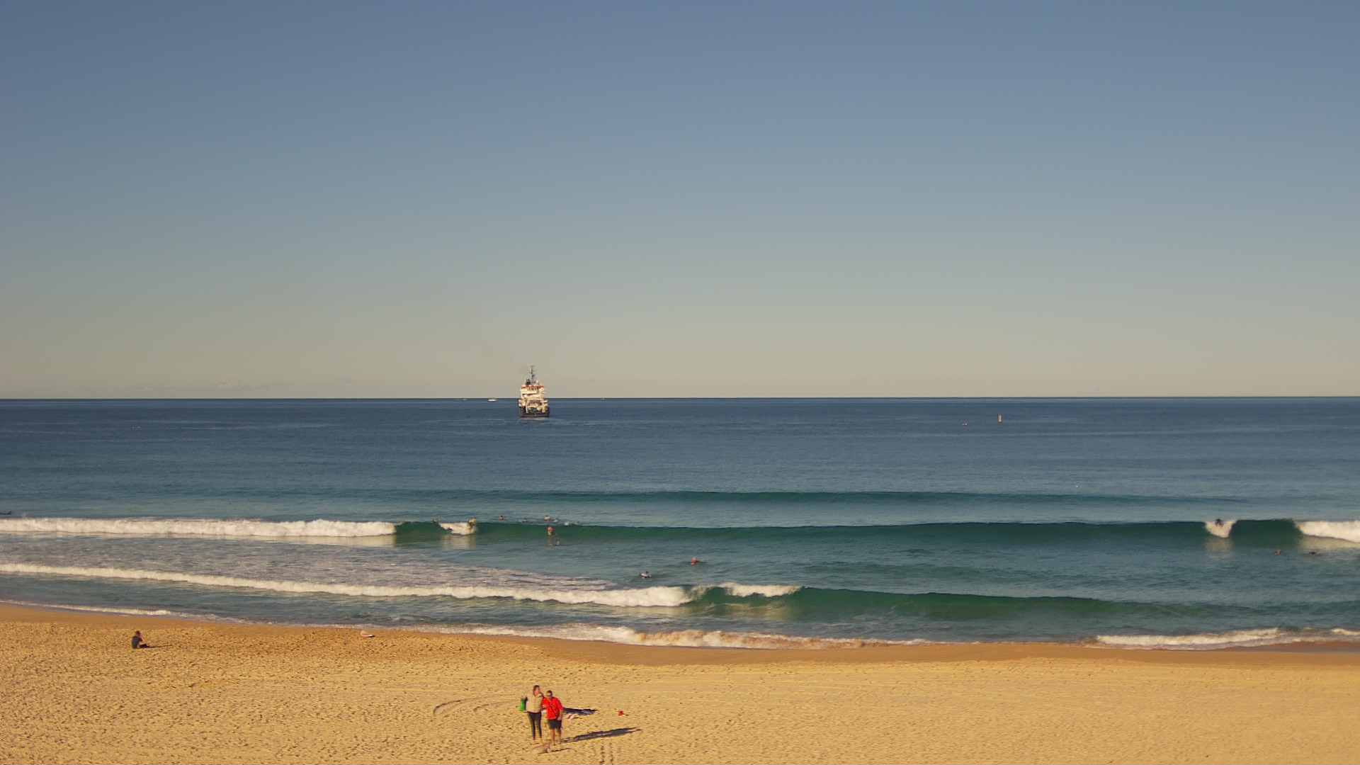
Small easterly swells have maintain inconsistent 2ft sets at exposed beaches for the last few days. A small new southerly swell (of a similar size) seems to be showing across south facing beaches this afternoon. Light winds have maintained clean conditions.

Fun across the EB this afternoon
This weekend (June 29-30)
A quick disclaimer - I haven’t been monitoring the charts for the last week or thereabouts, and my hindcast opportunity is limited today, so my understanding of the source of the existing small east (and maybe south) swells are limited to Steve’s notes from Wednesday. I also suspect that today’s small sneaky southerly pulse originated from westerly gales exiting eastern Bass Strait yesterday.
So, assuming there are no distant curveballs enroute for the weekend, we’re looking at a slow decline in surf size for the weekend, as there are no new swell sources expected to develop within NSW’s swell window for the next few days. Expect a fair grovel on a high volume board.
Saturday’s conditions look nice and clean with light offshore winds. Sunday morning looks equally clean (and small) ahead of a fresh southerly change due into the Illawarra mid morning, Sydney late morning, and the Hunter early afternoon (it’ll be moving fast). We’ll see some late building southerly windswell but quality will be low, so give it a miss.
Next week (July 1 onwards)
The models have downgraded the prospects of a significant low in the south-western Tasman Sea early next week, instead suggesting a bog standard frontal passage and associated sideband south swell for Monday, easing Tuesday and Wednesday, with accompanying southerly winds (that’ll likely trend SW through the mornings).
Monday looks to see the most size with a ragged mix of short range energy that’ll be overtaken by longer period energy into the afternoon, sourced from the core fetch around the low as it traverses (unfavourably) to the east. I can’t see size reaching much more than 3-4ft at south facing beaches, of which locations without southerly exposure will be much smaller.
Tuesday actually looks like your best bet for a paddle as we’ll see the local wind throttle back and swing offshore through the morning, and the groundswell component should be most dominant with sets around 3-4ft. Size will then ease to 2-3ft through the day, however...! Late afternoon is on target for a sneaky long range/long period pulse of southerly groundswell, sourced from a tight but intense polar low skirting the ice shelf this weekend (see chart below).

I’m unsure on the specific timing for Tuesday's fresh south swell, but given we’re in the middle of winter - with three hours less sunlight than the middle of summer - it’s knife edge as to whether it’ll reach Sydney before dark. Certainly the South Coast is better positioned for a late pulse of energy to 3-4ft+ (south swell magnets only).
Local winds aren’t terribly optimistic right now though. A unseasonable coastal trough developing off SE Qld eaerly next week is expected to freshen onshore winds about much of the East Coast on Tuesday afternoon - potentially down to the Sydney or Illawarra coasts - so we are at risk of deteriorating conditions. We’ll have more on that in Monday’s update.
Wednesday will then see the late southerly groundswell gradually ease. With some luck it won’t peak under the cover of darkness, but you will have to get in early for the most size (3-5ft sets across the Hunter, smaller as you head south, and smaller at any beach not properly exposed to the south).
However, Wednesday’s winds are equally dicey as per Tuesday afternoon. The pressure gradient across the south-western Tasman Sea may also be enhanced thanks to a developing low off New Zealand’s West Coast, so right now I’d hedge my bets against favourable winds and be prepared to seek out sheltered southern corners (which won’t have much size).
The rest of the week and weekend looks to see a mix of swells from the eastern quadrant, sourced from the coastal trough (up north) and the small Tasman Low (way out east). There’ll be waves but nothing noteworthy is currently on the cards.
Have a great weekend, see you Monday!


Comments
Always Appreciate ur notes ben - inside info like when the groundswell component of the swell mix might peak helps me cherry pick my surf time slots.
There’s always a gem or two like this in ur updates I wouldn’t have gathered from the forecast bar charts n tables. Thanks mate.