Nice round of surf on the way
South Arm Forecast by Ben Matson (issued Friday March 14th)
Features of the Forecast (tl;dr)
- Not much on Saturday
- Strong onshore winds will ruin a building swell on Sun, probably Monday too (though expect a slow improvement)
- Great waves Tues, mainly Wed and also Thurs with decent groundswells and light winds
- More swell due next week too
Recap
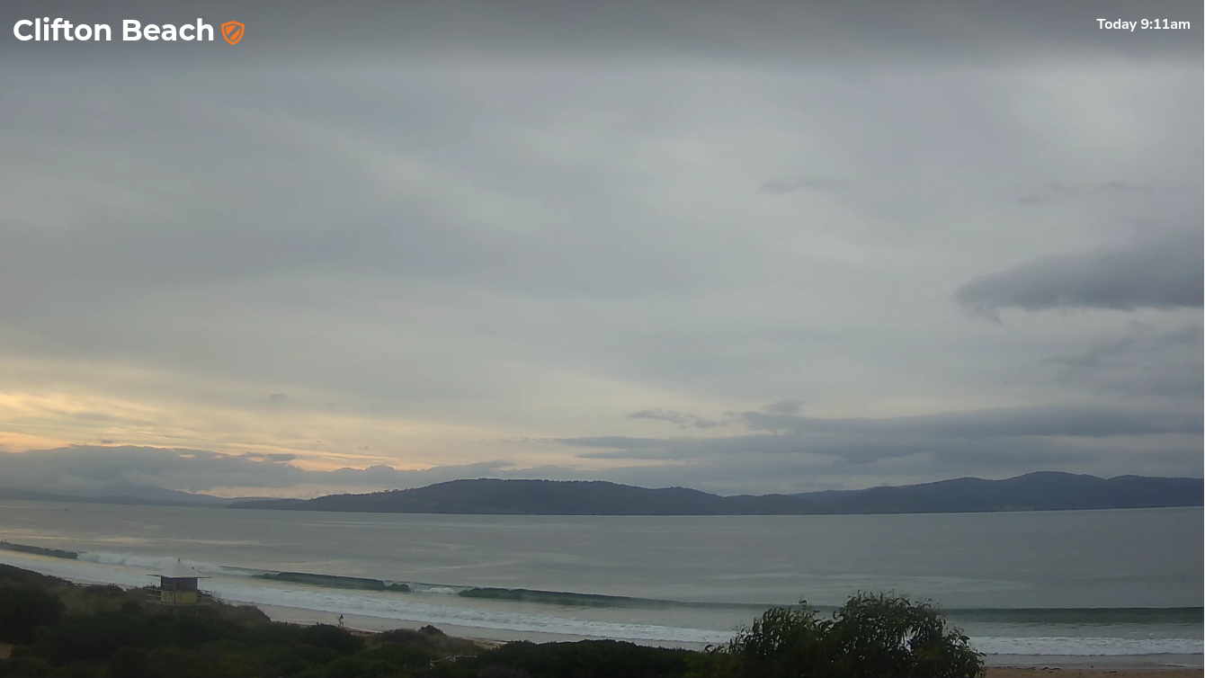
Wave heights have been tiny for most of the week. Small lines of new groundswell filled in late Thursday and Friday though it’s been super inconsistent, perhaps 1-2ft tops and clean with light winds.

Small waves at Cliffy this AM
This weekend (Mar 15 - 16)
Today’s swell will ease into Saturday, and winds should be generally light offshore so there’ll be minor options at exposed beaches for those learning to surf. Otherwise, you’ll have to look towards more exposed beaches for something to ride.
Sunday looks tricky. A strong front is expected to cross the coast within a few hours of dawn, so apart from a very slim window as the sun rises, we’re looking at poor conditions for the most part under strengthening SW winds.
Fortunately, we will see an increase in size through the day consisting of a healthy mix of groundswell and windswell. Expect undersized wave heights to begin with, reaching 3ft in the afternoon though quality won’t be very high at all. I doubt there’ll be enough size for the regional points.
Next week (Mar 17 onwards)
Lingering W/SW winds across the region on Monday will ease through the day - especially up inside Storm Bay - but we can expect residual lumpiness across most South Arm locations at best (if not bumpy conditions at times).
Fortunately, we have plenty of swell inbound, thanks to a powerful conveyor belt of Southern Ocean fronts and lows that will generate overlapping groundswells from Sunday thru’ Thursday.
Sunday’s size should hold into Monday, then ease a touch into Tuesday (2-3ft) with much better surf prospects as winds become light and variable. In fact, the rest of the week looks nice and clean thanks to a broad ridge of high pressure that’ll settle across the region and maintain a weak synoptic flow.
A new long period groundswell is then expected to rebuild into Wednesday, sourced from an intense polar low skirting the ice shelf on Sunday, with size building to 3-4ft at open beaches.
Easing size through Thursday is likely to offser the last day of good waves before things dry up into Friday.
The longer term outlook suggests a quieter weekend ahead of a renewal of activity in the following week as the Southern Ocean storm track fires up again.
All in all, it’s looking like a great couple of weeks of waves ahead.
See you Monday!

