Small swell pulses with clean conditions
Southern Tasmanian Forecast by Craig Brokensha (issued Friday September 6th)
Best Days: Tomorrow, Monday, Tuesday
Features of the Forecast (tl;dr)
- New W/SW swell late today, easing tomorrow with mod-fresh N/NW winds
- Tiny Sun with strong N/NW tending NW winds
- New mix of W/SW swells Mon/Tue with W/NW tending NW winds Mon, N/NW tending NW Tue
- Early N/NW tending S winds Wed with easing surf
Recap
Clean, small 1-2ft waves yesterday, with this morning coming in at 1-1.5ft with stronger offshore winds, even smaller this afternoon.
This week and next (Sep 7 - 13)

Later today a new pulse of W/SW swell is due, with it due to offer a bit of size across the region before easing quickly tomorrow.
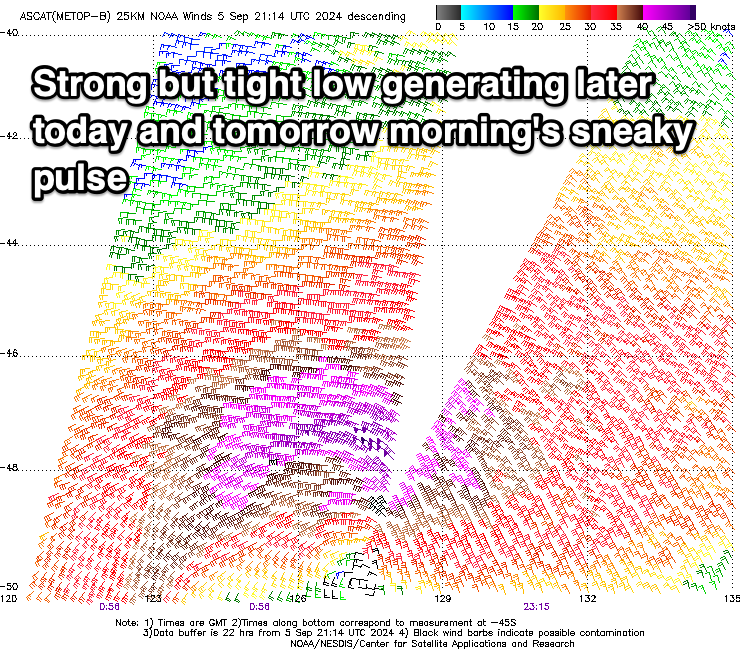
The source was a tight but intense low that moved through our swell window the last couple of days, with wind strengths reaching severe-gale.
2ft+ sets are now likely late today and early tomorrow before easing into the afternoon.
Conditions will be great tomorrow with a persistent, moderate to fresh N/NW-NW breeze.
Stronger N/NW tending NW winds are then due Sunday as the swell bottoms out.
Later in the day Sunday but more so Monday we’re due to see some long-range W/SW energy.

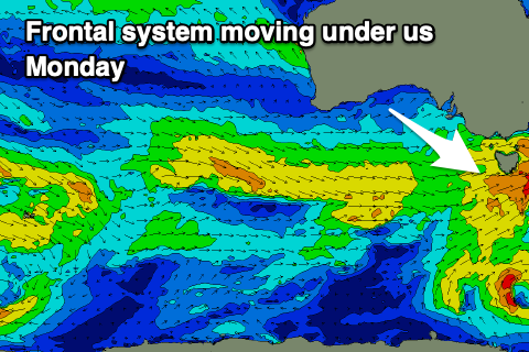
The source is a stream of frontal systems moving in from the west, with a slightly stronger system on Sunday evening due to generate some close-range and better swell for Monday.
Generally, slow 1-2ft surf is due, but Monday should see more consistent 2ft waves, similar Tuesday with another front passing under us.
Under this flow conditions look clean with W/NW tending NW winds on Monday, N/NW tending NW Tuesday, while a trough might bring a S’ly change shortly after dawn Wednesday. We’ll look at this closer on Monday.
Longer term, polar frontal activity looks to finally bring some better SW groundswells to the region from late week. More on this in the next update. Have a great weekend!

