No change to the poor outlook
Southern Tasmania Surf Forecast by Craig Brokensha (issued Wednesday June 26th)
Best Days: This afternoon, tomorrow for beginners
Features of the Forecast (tl;dr)
- Tiny easing SW swell tomorrow with N/NW tending W/NW winds
- Small-moderate sized S/SE swell for Mon with strong S/SE winds
- Easing swell Tue with easing S/SW winds
Recap
The surf has been tiny the last few days, dropping from 1-1.5ft yesterday and then down to 1ft+ today. A tiny hint of background SW swell is offering 1-1.5ft sets this afternoon on the big high tide.

Tiny glassy lines this afternoon
This week and weekend (Jun 27 - Jul 5)
This afternoon’s tiny pulse of swell is due to ease back from a similar 1-1.5ft tomorrow morning under N/NW tending W/NW winds.
From here on tiny surf is due through Friday and Saturday, with the next increase in size due to arrive from a mid-latitude low moving in from the west over the coming days.

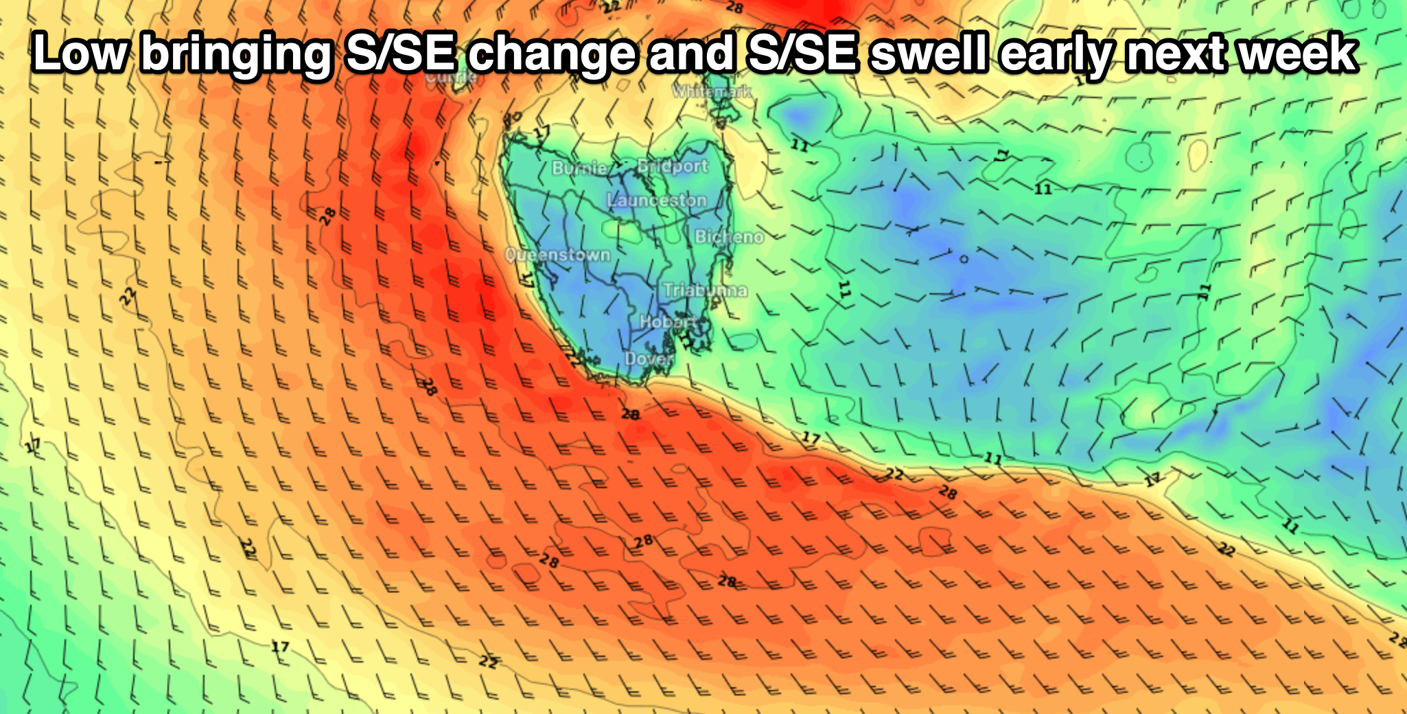
This low, like the last will expend the majority of its energy north, into South Australia and Victoria, but as it moves east across us on Sunday, a fetch of SE winds feeding in on its southern flank is due to generate a weak increase in S/SE swell.
This swell is due overnight and into Monday, arriving with poor, strong S/SE winds.
Junky 3ft surf is due Monday, easing Tuesday with lingering, strong but abating S/SW winds.
Unfortunately following this the outlook remains slow with some inconsistent W’ly groundswell from our far swell window due later week but with no size. More on this Friday.

