Fun pulse tomorrow morning, bigger S/SW swell late week
Southern Tasmania Surf Forecast by Craig Brokensha (issued Monday 5th December)
Sign up to Swellnet’s newsletter and receive the South Arm Forecaster Notes and latest news sent directly to your inbox. Upon signup you'll also enter the draw to win a surf trip to P-Pass for you and a mate. It doesn’t get much easier so click HERE to sign up now.
Best Days: Tuesday morning, Saturday morning
Recap
Small clean 1-2ft waves Saturday morning ahead of some better size through the afternoon although with afternoon sea breezes.
Sunday was smaller and back to 1-2ft, while today was tiny to flat.
 This week (Dec 6 - 9)
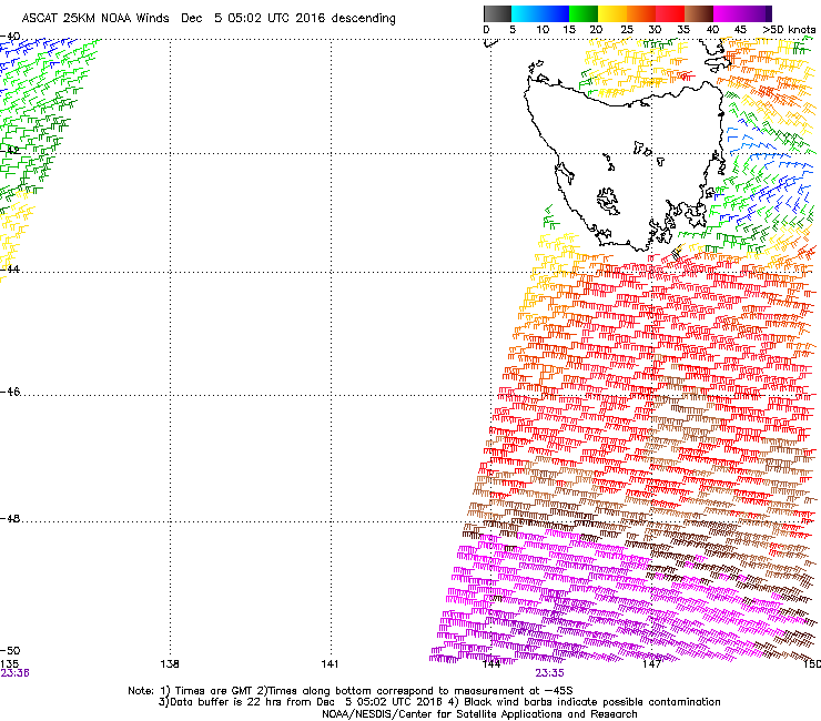
A westerly change seen today is linked to a strengthening polar low currently right to the south of us.
We're seeing a fetch of W/SW gales generated in our western swell window, with it dipping south-east away from us this afternoon and evening.
A peak in swell is due at dawn tomorrow morning with 2ft+ waves, easing through the day and tiny Wednesday.
Conditions are looking good tomorrow with a NW offshore ahead sea breezes.
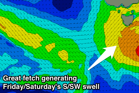
 The next increase in swell is due late week as a strong cold front pushes in from the west, aiming a good fetch of strong to near gale-force S/SW winds through our southern swell window Thursday evening and Friday morning.
A moderate sized S/SW swell is due, building to 3-4ft through Friday with fresh to strong SW winds, easing from 3ft Saturday morning with better W/NW winds.
We may see a secondary follow up S/SW groundswell for later Sunday/Monday but we'll have a look at this again on Wednesday.

