Gusty N'ly winds for the weekend; better options early next week in northern NSW
South-east Queensland and Northern NSW Surf Forecast by Ben Matson (issued Friday 22nd September)
Best Days: Sat: protected northern corners south of Byron early with some lingering S'ly swell, before the N'ly wind kicks into gear. Not much in SE Qld. Sun: chunky N'ly windswell across exposed Gold/Tweed coasts (smaller elsewhere) though winds will be problematic. Mon/Tues: light winds in Northern NSW with small peaky N'ly swell, then mixed with a building S'ly swell. Not much size in SE Qld and the N'lies will persist through this time.
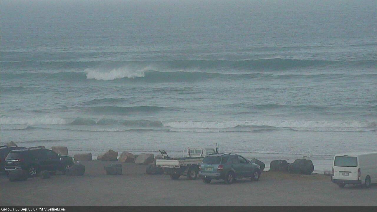
Recap: Thursday delivered a very nice south swell in Northern NSW around 4ft, though surf size was much smaller in SE Qld due to the direction, only favouring exposed northern ends. Early light winds created clean conditions ahead of afternoon seabreezes. This swell has eased back today, and freshening northerly winds have made a meal of surface conditions right across the state. Nice to see some t’storms popping up on the radar this afternoon too.

Windy Friday afternoon options at Coffs Harbour, mid-thunderstorm
This weekend (Sep 23 - Sep 24)
No really change to the weekend outlook.
The current south swell will continue to slowly fade through Saturday, though it’s held up reasonably well across Southern NSW today so Saturday morning should see steady 2-3ft sets at south swell magnets south of Byron. Expect size to ease throughout the day.
Surfable options will be limited with early NW winds tending fresh N’ly quickly, and they’ll strengthen above 25kts by the afternoon. Very little of the aforementioned south swell will get in north the border though.
Instead, we’ll see building N’ly windswell across all coasts throughout the day (continuing on from what’s showing in the water now) ahead of a peak in size on Sunday.
Unfortunately, N’ly winds will continue at strength through Sunday so it’s going to be hard to find anywhere picking up anything worthwhile. Exposed north facing locations - centered around the Gold and Tweed Coast - should see 3-4ft sets at times, though it’ll be smaller at coasts with less southerly exposure. Also, it’s likely surf size will be smaller across the Sunshine Coast (owing to a shorter fetch length).
We may see as slight N/NW tendency in the wind field at times, which should open up a few stretches with peaky lefts running down the beaches, but you’ll have your work cut out finding these little windows of opportunity - more likely in the morning than the afternoon.
Next week (Sep 25 onwards)
A trough crossing the coast into Monday - linked in with a broad mid-latitude low to the south - will swing winds to the west across the Mid North Coast.
In fact, we’ll probably see favourable (read: light and variable) conditions all the way up to some part of the Far North Coast - maybe around Ballina or Byron. This will clean up the bumps from Sunday though there’ll still be a northerly wobble through the lineup.
However, a persistent high pressure ridge across the South Pacific will maintain northerlies across SE Qld (and maybe the Tweed Coast) on Monday and Tuesday. Yes, there’s a chance for early periods of NW winds but in general most beaches will be written off.
The affects of this synoptic setup is that we’ll see a rapid drop in N’ly windswell across Northern NSW (especially the Mid North Coast) through Monday; but it’ll ease much more slowly across SE Qld and Far Northern NSW. In fact the N’ly fetch should continue to produce local windswell for SE Qld through until late Tuesday, meaning there should be surfable energy into Wednesday morning (by which time a shallow southerly change is expected to push through). However it will certainly be easing by this time.
So, the upshot is mixed small peaky beach breaks for Northern NSW early next week, and typical northerly crud for the most part in SE Qld, maybe some brief windows of NW winds and peaky beachies if you're lucky.
Tuesday and Wednesday will also see a building southerly swell across south swell magnets south of Byron, originating from a strong front exiting eastern Bass Strait on Monday. This should produce 2ft+ sets late Tuesday (mainly Mid North Coast) with bigger surf through Wednesday - though local surface conditions will be at risk of a few bumps, originating from the southerly change due overnight Tues/early Wed.
Fortunately, it’ll quickly clear to the east so we should see lighter winds into Wednesday afternoon with small peaky waves in the 2-3ft+ range at swell magnets south of Byron. Don’t expect much size from the south, north of the border.
Looking further ahead and these southerly swells will ease steadily through Thursday with freshening N’ly winds and a local NE windswell for the afternoon or early Friday.
A very strong procession of fronts are then expected to push into the lower Tasman Sea from later Thursday onwards, probably generating some fresh southerly swell for next weekend and early next week, possibly strong at south swell magnets in Northern NSW.
More on this on Monday.. ‘till then have a great weekend!


Comments
Fucken school holidays too. Any protected corners crowded as. Not surprised really