Small swells for the Mid, with a couple of decent windows down south

South Australian Forecast by Ben Matson (issued Monday March 10th)
Features of the Forecast (tl;dr)
- Today's new swell holding into Tues AM with generally light winds
- Easing swells Wed/Thurs
- New swell arriving late Thurs, holding Fri with small waves on the Mid and better surf down south
- Fun smaller waves Saturday down south
- New long period groundswell building Sunday, best conditions early (though will become spoiled by freshening onshores during the day)
- Stacks of swell for next week
Recap
Small swells have offered 1-2ft sets across the Middleton stretch since Saturday (with offshore winds keeping conditions clean), though a new groundswell is now starting to show bigger waves ahead of a peak tomorrow. The Mid was tiny all weekend but a new groundswell has lifted surf size to 1ft+ this afternoon (see below).
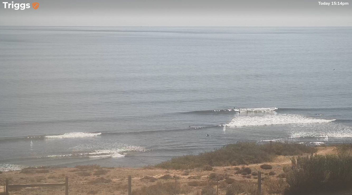
Glassy high volume arvo session on the Mid
This week (Mar 11 - 14)
The leading edge of a new long period groundswell reached Cape Sorell around lunchtime today - a useful, if somewhat delayed proxy for the inactive Cape du Couedic buoy - and we’re expecting size to build towards a peak early Tuesday.
Wave heights along the Mid should ebb and flow in the 1ft range (occasionally smaller outgoing tide, occasionally bigger incoming tide) and generally light/variable winds should maintain clean conditions.
Down south, and we’ll see more size across the Middleton stretch with inconsistent 3ft sets at Middleton. It’ll be well worth a paddle.
Easing size into Wednesday will be accompanied by light S’ly winds that’ll tend S/SE into the afternoon and freshen a little. Early morning should offer some workable waves at Victor though it’ll be probably unsurfably small on the Mid Coast.
Thursday morning will see a low point in surf size, and potentially a slight muscling up of S/SE wind strength though it won’t be too strong.
However, during the day we’ll see some new long period swell reach coast that should lift surf size into the afternoon.
This energy will be generated by a slow moving polar low well to the SW of Western Australia at the moment, in an ideally angled - if somewhat distant - region of our swell window.
Once again, set waves will be very inconsistent however we should see occasional 1ft+ waves along the Mid Coast late afternoon, pushing 2-3ft+ at Middleton by the end of the day. Light variable winds under a weak troughy pattern should maintain clean conditions.
This swell is expected to persist through Friday offering a similar size range as late Thursday along with light variablewinds and thus clean conditions.
So Tuesday, late Thursday and Friday are all the pick of the working week. Just expect a higher percentage of grovelling along the Mid Coast than usual.
This weekend (Mar 15 - 16)
A series of powerful fronts pushing through the Southern Ocean this week will set up an overlapping sequence of SW groundswells that'll arrive during the weekend.
At this stage, Saturday looks to start off with small leftovers from Friday though we could see a minor reinforcement of mid-range swell from a pre-frontal W/NW fetch (this may lift the inconsistent baseline 2ft surf at Middleton a touch). The Mid Coast will probably hold steady with slow 1ft sets.
However Sunday is where we’ll see a strong building trend, from 2-3ft at Middleton, up to 4-5ft+ by the afternoon along with freshening W/NW tending SW winds as a front crosses the coast. So, expect bumpy but solid surf late by in the day.
Similar winds are expected on the Mid though with a little less strength, and size should increase to 1-2ft. It won’t be great but there’ll be options.
Let’s fine tune the specifics on Wednesday.
Next week (Mar 17 onwards)
All signs are pointing towards an extended run of strong Southern Ocean fronts into next week (i.e. with a negative SAM), which suggests a decent spell of elevated wave heights along the South Australian coast.
Initially, Sunday’s front will probably maintain bumpy conditions into Monday, however beyond this the high pressure belt may remain just south enough to keep the local influence of westerly winds to a minimum. This could result in favourable conditions for both coasts as the swell cycles through various events.
Anyway, it’s early days for now, but a very promising run of Autumn swell looks imminent.
Comments
any rain Thermal?
I don't usually pay too much attention to the rain outlook, but... just for you AMB... :)
Bugger all in general, aside from localised thunderstorms on Tuesday afternoon and overnight into Wednesday.
Isolated thunderstorms may also present a chance for small accumulations late Sat into early Sunday, and then perhaps a few millimeters of post-frontal rain on Sunday.
Ain't it amazing that early this morning I was noting 1,100mm recorded in the Gold Coast Hinterland over the last five days, and here we are dissecting the prospects for a couple of millimetres in South Oz.
Jeez we need the rain in SA though... it's a terrible state of affairs right now.
SA Forecast for Wednesday 12 March ???????
Sorry mate, running late (I'm filling in for Craig this week).... will be finished in an hour. One of those days where everything piles on top of each other.
Note: make sure you've ticked the email box on your profile and you'll be notified when it goes live.