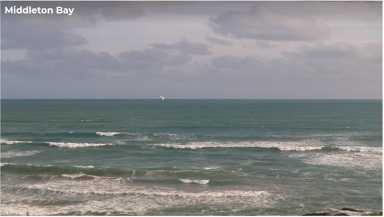
Swell-o-rama, just gotta work around the winds
South Australian Forecast by Ben Matson (issued Wednesday November 13th)
Features of the Forecast (tl;dr)
- Easing onshores and building swells Thursday, looking best early Friday with early light winds (should be small lines on the Mid)
- Fun waves down south early Saturday with freshening N/NE winds and easing swells
- Solid stormy for the Mid on Sunday
- Large surf down south on Monday (still holding on the Mid) with easing onshores
- Fun small Mid on Tuesday with offshore winds, becoming smaller Wednesday but still clean
- Another decent groundswell Thurs/Fri for Victor, but local winds could be an issue at first
Recap
Small clean waves lingered across the Mid Coast on Tuesday, just big enough for beginners, whilst early light winds provided clean conditions down south with an easing swell from 3-4ft at Middleton, ahead of an afternoon onshore change. Today’s seen tiny leftovers on both coasts with freshening onshore winds.

Not much chop (or alternatively, lots of chop) at Middleton this afternoon
This week (Nov 14 - 15)
A new swell is expected to build slowly on Thursday plateauing from the afternoon into Friday with slow, inconsistent 1-2ft waves across the Mid Coast and 3ft sets along the Middleton stretch down south.
This swell is being generated by a modest series of fronts traversing the Southern Ocean - a long fetch is trailing behind them, but it’s not terribly strong so I’m being cautious with my size estimates.
Conditions should however improve from today with a weak high pressure system creating light SE winds Thursday morning (before freshening afternoon sea breezes bump things up), ahead of light variable winds on Friday morning, again, followed by afternoon sea breezes from the SE.
Given that Thursday afternoon’s expected building swell will probably coincide with deteriorating conditions as the sea breeze kicks in, Friday morning is your best chance for a wave (on both coasts) as it’ll have the most favourable conditions overall. But Thursday morning should also be worth a look.
This weekend (Nov 16 - 17)
A powerful mid-latitude low developing to our south-west will influence local winds this weekend, initially strengthening from the N/NE on Saturday morning ahead of a gusty W’ly change that afternoon, before fresh to strong westerlies persist through Sunday.
Saturday’s surf will be easing at Victor (from Friday) and it’ll offer great waves with the freshening offshore breeze. Expect early 2-3ft sets at Middleton (smaller later) and plenty of bigger waves at exposed coasts.
I’m not expecting anything of note on the Mid on Saturday as the surf will only be small and these winds won’t favour any quality.
Saturday’s late W’ly change won’t initially generate much of a size increase (other than some local windswell across the Mid on dark) but a stronger frontal progression pushing through on Sunday should generate both some SW groundswell and local W/SW windswell, that should push the Mid up into the 3-4ft+ range, with small bumpy options across the metro beaches. Quality will be low but there’ll be surfable options right across the eastern half of the gulf.
Victor won’t see much of a swell increase until Sunday afternoon (thanks to the initial W’ly component in the swell direction) and with these winds it’s unlikely to be a day worth considering to get wet.
Next week (Nov 18 onwards)
Large swells will build down south into Monday morning (and maintain along the Mid Coast), and although the synoptic flow will be out of the SW it will be easing rapidly. This should allow surface conditions to clean up to a degree, however there will likely be some leftover wobble at exposed spots.
The South Coast is expected to build to 4-6ft at Middleton, and we should see a fun day of lumpy 3ft waves on the Mid.
Surf size will then steadily ease into Tuesday (3-5ft Middleton, 2ft+ Mid Coast) and Wednesday (2-3ft+ and 1-2ft) though a high pressure system in the Bight will swing the wind around to the SE, favouring the gulf for the best conditions.
Looking further out and a deep polar low skirting the ice shelf well south of WA early next week will set up an excellent groundswell for the the South Oz region around Thursday and Friday. Early indications are for 4-5ft sets at Victor from this source (and some small lines on the Mid), however there is some concern about local winds for Thursday, depending on how quickly the mid-week SE flow eases back. However light variable winds under a trophy pattern is expected by Friday so I’m comfortable that we’ll see at least one day of decent surf from this event.
Anyway, this is still some time away so let’s take a closer look on Friday.

