Poor run until next week
South Australian Surf Forecast by Craig Brokensha (issued Wednesday November 24th)
Best Days: This morning, Mid Coast tomorrow and Friday morning for beginners, Monday morning down South for the keen, Tuesday morning down South, Wednesday morning down South
Features of the Forecast (tl;dr)
- Inconsistent W/SW groundswell tomorrow, fading Fri
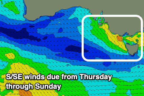
- Building S/SE windswell later tomorrow down South with strengthening S/SE winds, building further Fri with strong S/SE winds
- Easing S/SE windswell through the weekend with gusty S/SE winds Sat, fresh out of the SE Sun
- Small mix of swells Mon with variable tending S/SE winds
- Inconsistent SW groundswell Tue with N/NE tending S/SE winds
Recap
Improving conditions with clean, peaky 2ft sets down South, building a little through the afternoon with favourable winds for selected spots, tiny to flat on the Mid.
Today conditions are cleaner but the swell small and easing from 2ft down South, flat on the Mid. Make the most of the clean conditions as a trough will bring an onshore change this afternoon and a run of onshore winds until early next week.
This week and weekend (Nov 25 - 28)
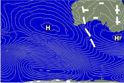
 Once this afternoon’s trough moves through, we’ll see winds strengthen as the trough forms into a low off the far southern NSW coast, squeezed by a high moving in from the west.
This will bring strengthening S/SE winds through tomorrow which will persist Friday, kicking up a chunky though junky S/SE windswell.
Size wise we’re probably looking at surf building through Friday to the 4-5ft+ range through the afternoon, then easing through Saturday from 4ft as winds start to slowly abate as the low pushes east towards New Zealand.
We’re likely to see SE winds persisting into Sunday with the S/SE windswell energy fading further from a weak 2ft+ across Middleton.
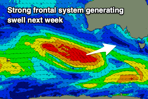
 Looking at the Mid Coast and a tiny, inconsistent W/SW groundswell is due tomorrow, generated by a strong though distant frontal system on the weekend, west-southwest of Western Australia. Sets to 1ft+ are due tomorrow, easing from 1ft Friday with those strong, cross-offshore winds. It’ll be best for beginners.
Next week onwards (Nov 29 onwards)
Moving into next week we’ve got a unique setup of persistent winds from the north-eastern quadrant as high pressure sets up from the south-east of the country over to New Zealand, with inland surface troughs squeezing from the north.
 This will favour the South Coast and we’ll see a couple of significant cold fronts slipping in from the west, then tracking east-southeast as they interact with the high.
This will bring moderate pulses of SW groundswell, the first filling in Monday and peaking Tuesday with the second for Friday/Saturday.
Size wise the first looks to be around 3ft on the sets across Middleton Tuesday with morning N/NE winds, with a secondary pulse for Friday. More on this in the next update.

