Get stuck in this weekend
Eastern Tasmania Surf Forecast by Craig Brokensha (issued Friday 26th June)
Best Days: Saturday and Sunday
Recap
The mix of E and SE swell faded further back in size yesterday to a fun and clean 3ft or so, while a low point this morning was a bit lower than expected, but some new energy should be filling in this afternoon out of the E.
This weekend and next week (June 27 – Jul 3)
There’s been no change to the strongest pulse of E/NE groundswell due later today across the coast, though we’ll see a peak in size tomorrow.
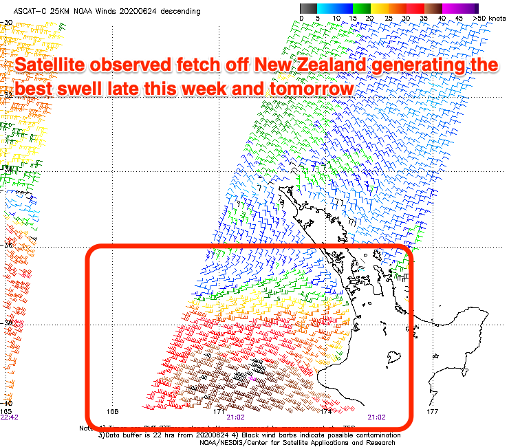
A great fetch of strong to gale-force E’ly winds have been aimed towards us the last two days, with the fetch now retracting and weakening.

With this we’ll see a peak in size tomorrow, biggest across the northern half of the coast with good 4-5ft sets, easing into the afternoon and down from 3ft on the sets Sunday morning. Conditions will be great with morning offshore winds, tending variable and possibly very weak sea breezy.
The southerly swell due to be in the mix on the weekend now looks a bit of a non-event, with the front weak and too zonal in nature.
With this the small pulse of E/SE swell for mid-next week now also looks minimal with a low forming off the southern tip of the South Island not due to be well aimed for us at all.
Instead a small N/NE windswell is on the cards ahead of a strong mid-latitude frontal progression moving in from the west, squeezing a strong high in the Tasman, but more on this Monday. Have a great weekend!

