Flukey and small to tiny this week, more action from the weekend
Eastern Tasmania Surf Forecast by Craig Brokensha (issued Monday 15th June)
Best Days: Thursday south swell magnets, Sunday onwards
Recap
A bit of north-east swell for the weekend with clean conditions in northern corners both Saturday and Sunday. Today the swell has eased and conditions are still average across the north-east swell magnets.
This week and weekend (June 16 - 21)
Small levels of background E/NE trade-swell from a persistent fetch of trades through the Coral Sea are likely to persist around 1-2ft tomorrow, fading into Wednesday and with stronger N/NW tending NW and then W/NW winds.
 A strong front pushing across us Tuesday evening isn't expected to bring any real S'ly swell to the region with a flukey 1-2ft wave max across the south swell magnets Wednesday.
Thursday is more likely from a better aligned trailing polar fetch of strong to gale-force SW winds on the tail of the front, bringing 2ft sets to south swell magnets with N/NW winds.
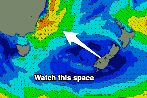
Now, moving into the weekend we'll see a dynamic setup as a broad mid-latitude low moves in slowly from the west, squeezing a high in the Tasman Sea.
Strengthening NE winds are due on the eastern flank of the low, kicking up a building N/NE-NE windswell through the weekend and possibly further into next week. The models diverge regarding the longevity and positioning of the low into the weekend and early next week, so check back here Wednesday and Friday for a greater idea on quite a decent swell generating systems and the local winds.

