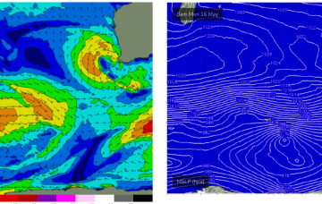
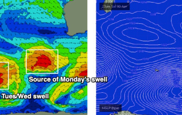
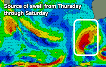
Weekend looks pretty good, with moderate storm activity in the Central Indian Ocean sending another moderate W/SW swell towards WA.
Primary tabs
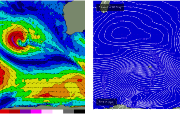
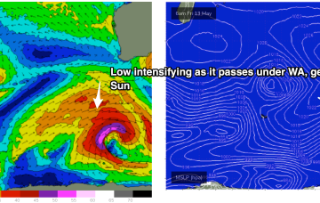
Into next week and a compact but powerful cut-off low approaches the state early next week. Early incarnations of the low aim up severe gales generating a strong W/SW pulse Tues.
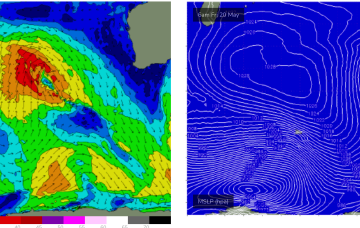
A deep polar low is tracking NE from E of Heard Island today, with a long trailing fetch of SW gales and seas in excess of 20ft in a wide swathe. Iterations of this storm system will bring strong pulses of SW swell over the next few days and into the weekend, with onshore winds a problem.
As mentioned on Fri, a series of fronts pushing up from Heard Island bring quite an active week of mid-sized surf but finding windows of cleaner conditions will be a challenge.
Tricky winds and swells this period but there are windows for a cleaner wave in between onshore periods.
Clean conditions with easing surf over the coming days, with some new swell for the weekend but with winds out of the north.
A rapid increase in XL swell tomorrow, best in protected spot when it peaks. Windy but pumping surf, easing Wednesday.
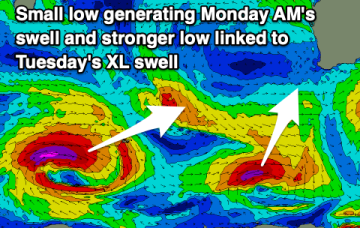
Light winds and easing surf on the weekend ahead of some new swell Monday and stronger XL groundswell Tuesday.
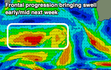
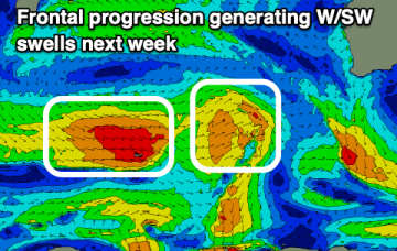
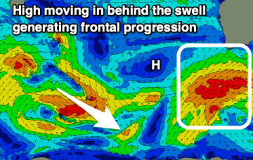
More large surf is expected early next week, as a conveyer belt of powerful frontal systems set up across the Southern Ocean later this week.
Onshore winds and average swells over the coming days ahead of stronger energy late week as winds improve.

