/reports/forecaster-notes/western-australia/2024/01/19/average-surf-outlook-continues-though-the
Craig
Friday, 19 January 2024
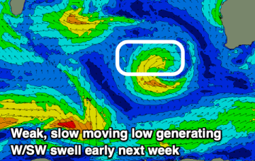
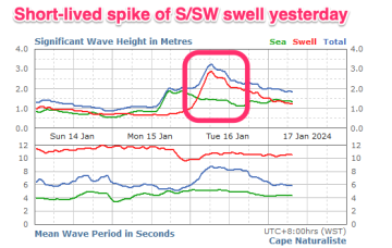
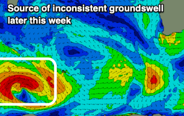
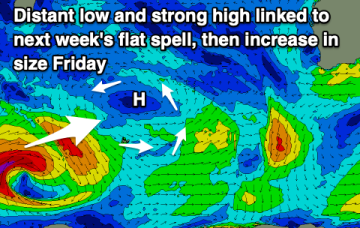
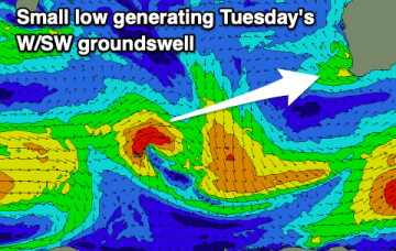
A weak W/SW swell should provide small waves across metro locations early next week with workable winds. Otherwise the outlook is so/so.
/reports/forecaster-notes/western-australia/2024/01/17/poor-surf-period-ahead
Craig
Wednesday, 17 January 2024
There's no major swells due and winds are dicey for the coming period.
/reports/forecaster-notes/western-australia/2024/01/15/flukey-period-swell-and-winds
Craig
Monday, 15 January 2024
The coming period isn't reliable for surf but savvy surfers might hunt out something.
/reports/forecaster-notes/western-australia/2024/01/12/make-the-most-the-weekend
Craig
Friday, 12 January 2024
The outlook for next week is poor so make the most of a small pulse of swell for the weekend.
/reports/forecaster-notes/western-australia/2024/01/10/windy-fun-surf-over-the-coming-days
Craig
Wednesday, 10 January 2024
The South West will provide fun surf over the coming days, best out of the wind but also smaller in these spots.
/reports/forecaster-notes/western-australia/2024/01/08/fun-swells-week-windy-conditions
Craig
Monday, 8 January 2024
Winds will be less than ideal and with strength most of this week along with some fun swell.
/reports/forecaster-notes/western-australia/2024/01/05/nothing-great-workable-waves-the-period
Craig
Friday, 5 January 2024
There's a mix of swells with winds generally from the south-eastern quadrant over the coming period.
/reports/forecaster-notes/western-australia/2024/01/03/fun-swell-tomorrow-another-pulse-sunday
Craig
Wednesday, 3 January 2024
Conditions will be windy but favourable over the coming days with some fun swell on the cards. To the north it'll be small to tiny.
/reports/forecaster-notes/western-australia/2024/01/01/fun-waves-later-week
Craig
Monday, 1 January 2024
Varying swell pulses with favourable winds from Thursday through the weekend.
/reports/forecaster-notes/western-australia/2023/12/29/improving-surf-today-easing-options-next-week
Craig
Friday, 29 December 2023
A mix of swells are filling in today as winds ease, dropping through the weekend. Fun swells with workable winds are due next week.

