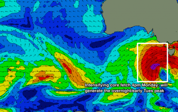
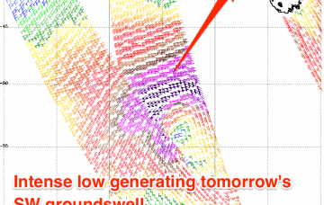
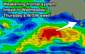
There’s been no major change to the dynamics of the low generating this new swell - satellite data captured a healthy fetch of gale to storm force winds in our swell window on Sunday, and the latest model observations show the core winds are likely to peak later this afternoon, just W/SW of Tasmania (see below). More in the Forecaster Notes.
Primary tabs
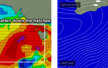
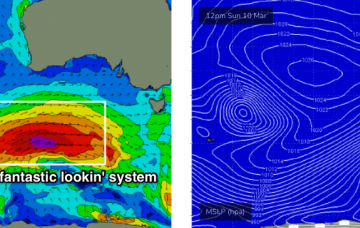
A complex series of powerful lows will develop south of the continent over the weekend, migrating through our near swell window into the start of next week and delivering a period of very large, windy surf for the state.
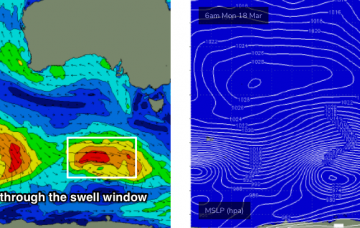
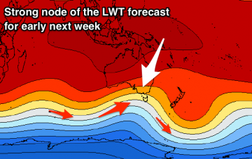
Our current blocking pattern will break down over the coming days, with one heck of a complex, powerful weather progression expected to push through our immediate swell window from Saturday through Wednesday. More in the Forecaster Notes.
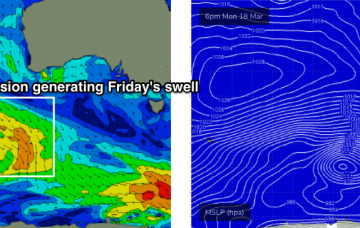
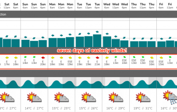
So, Friday's models were pretty good with their outlook for a week or more of E’ly winds: they’re still holding this pattern through into the end of this week. The block is expected to break down this weekend though, and the outlook beyond that is pretty dynamic.
We’re on the cusp of an extended period of E’ly winds, thanks to a blocking pattern setting up camp across our immediate swell window.
We’ve got a light pressure pattern across the coast for the rest of the week, so the mornings are looking clean-ish with light variable winds ahead of afternoon sea breezes.
So, first day back in the Victorian driver’s seat for a while, and what do we have? Let’s take a quick look at the available data to see if the model guidance is still stacking up. More in the Forecaster Notes.
Large swells this period with varying though generally favourable winds.
No lack of swell this period but tricky winds over the coming days as we fall in between frontal systems.
Lots of swell this coming period with varying winds adding a few curve-balls into the mix.

