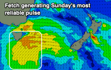
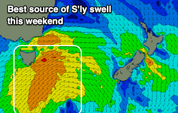
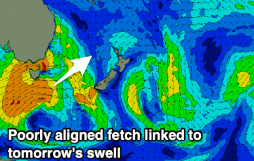
Not much to end off the week with tricky south swells becoming more reliable into the weekend.
Primary tabs
/reports/forecaster-notes/eastern-tasmania/2019/12/04/tricky-south-swells-more-reliable-the-weekend
Craig
Wednesday, 4 December 2019
/reports/forecaster-notes/eastern-tasmania/2019/12/02/sly-swells-building-late-week
Craig
Monday, 2 December 2019
Flukey swells late week and more reliable on the weekend.
/reports/forecaster-notes/eastern-tasmania/2019/11/29/the-beat-or-lack-goes
Craig
Friday, 29 November 2019
Still nothing of note for the period besides a couple of very flukey swells.
/reports/forecaster-notes/eastern-tasmania/2019/11/27/possible-swell-potential-later-next-week
Craig
Wednesday, 27 November 2019
Nothing over the coming days with our eyes on later next week.
/reports/forecaster-notes/eastern-tasmania/2019/11/25/poor-outlook-continues
Craig
Monday, 25 November 2019
Nothing to pencil in over the coming week.
/reports/forecaster-notes/eastern-tasmania/2019/11/22/check-another-coast
Craig
Friday, 22 November 2019
No surf this period with the East Coast becoming tiny to flat.
/reports/forecaster-notes/eastern-tasmania/2019/11/20/nne-swell-the-coming-days
Craig
Wednesday, 20 November 2019
Windy building N/NE swell tomorrow, easing from Friday.
/reports/forecaster-notes/eastern-tasmania/2019/11/18/fun-nne-windswell-week
Craig
Monday, 18 November 2019
Small, flukey S'ly swells with a better N/NE windswell for later week.
/reports/forecaster-notes/eastern-tasmania/2019/11/15/tiny-flat-potential-next-week
Craig
Friday, 15 November 2019
Nothing of significance over the coming days, more potential from the N/NE next week.
/reports/forecaster-notes/eastern-tasmania/2019/11/13/look-further-afield-surf
Craig
Wednesday, 13 November 2019
Very flukey and small south swells this period.

