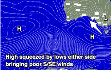
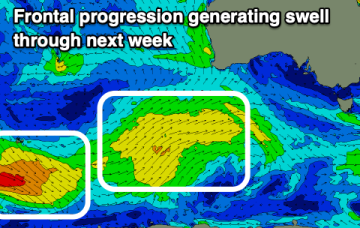
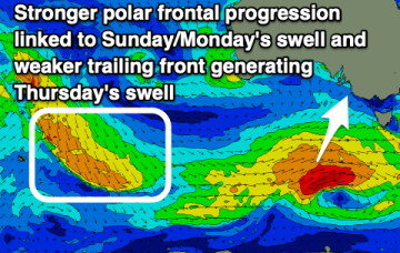
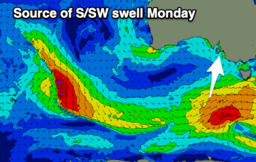
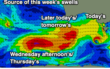
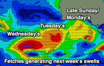
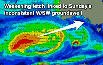
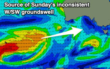
The coming outlook remains poor with persistent winds out of the south and no major swell for the Mid Coast, just tiny teasing swells.
Primary tabs
Make the most of the small waves down South today as the coming forecast period isn't too special. There'll be a couple of small Mid Coast days.
The outlook for the coming period isn't especially great but there are a couple of small windows worth capitalising on.
There's not much to work with this week with improving winds later but with minimal levels of swell. A slightly better swell is due early next week.
The past week of fun waves across the Mid Coast will be a distant memory on the weekend and early next week with the swell bottoming out along with strong winds from the south-eastern quadrant.
We'll see a strong SW swell this afternoon, easing into the end of the week with one clean day down South, followed by a poor run of onshore winds.
Make the most of the current swell and workable onshore winds today and better conditions tomorrow before things deteriorate into the end of the week and weekend.
There's a lot to get through this period but the bottom line is that there'll be waves on both coasts but finding the windows of clean conditions will be a touch tricky.
There's plenty of swell due across the Mid Coast though when biggest conditions look tricky. There'll also be windows of fun waves down South.
There should be some kind of wave all week on the Mid Coast, more than surfable at times while there's more energy due on the weekend.

