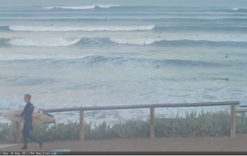
Cold, stormy surf over the coming days, with one good day of surf later week. Workable weekend waves.
Primary tabs
Decent conditions and some fun swell for the weekend down South, poor and windy early next week.
A mixed period with varying winds and swells, best down South on the weekend.
Nothing to recommend this week with cold, windy surf into next week.
A large blocking high across our immediate swell window will impact our surf outlook in two ways for the first half of next week - it'll maintain low swell heights (by defecting storm activity away from our region) and it'll also keep conditions nice and clean with NE winds.
Now that we’re on the backside of this swell event, the outlook is somewhat academic, continuing down Thursday, then down even more Friday.
Wave heights are trending steadily upwards at Cape du Couedic, which is a good sign - as opposed to a J-curve, which often denotes an event of shorter duration.
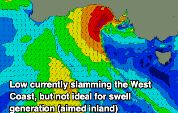
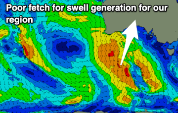
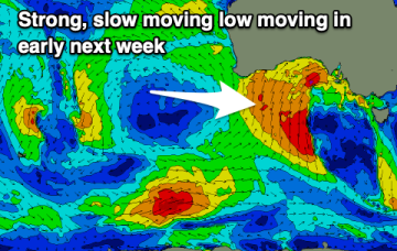
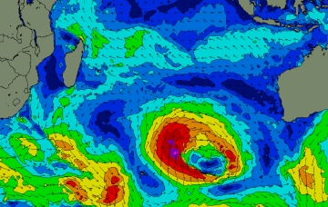
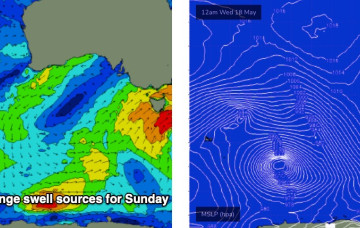
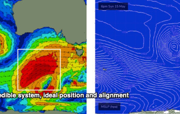
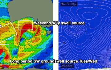
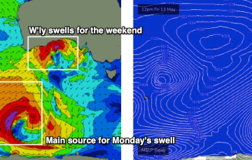
There’s a whole stack of swell on the way too, though initially it’ll be very westerly in direction, originating from a powerful low spinning up immediately south of West Oz that’ll drive a strong front through the Bight.
The models have slowed Friday’s frontal passage, which has delayed the weekends inbound westerly swell.
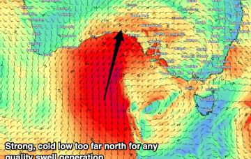
We’ve got a blustery weekend ahead. It’s a classic winter frontal pattern, that may become supercharged thanks to a tropical infeed, courtesy of TC Karim.

